2022 Early Season Eastern Sierra Loop
|
Day #1
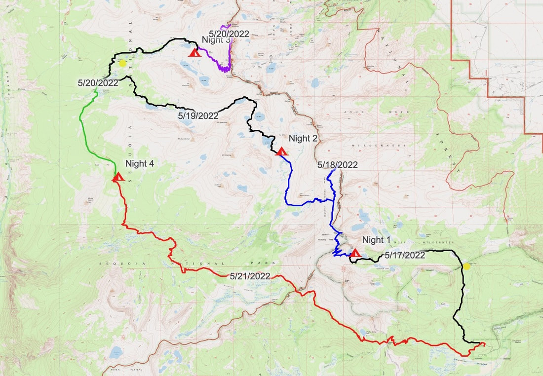
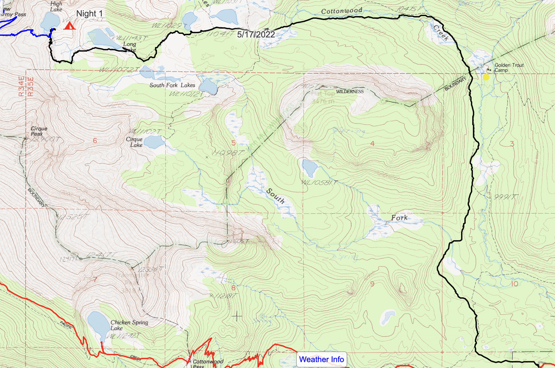
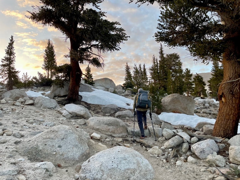
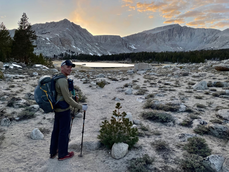
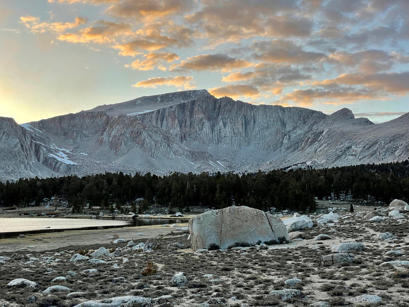
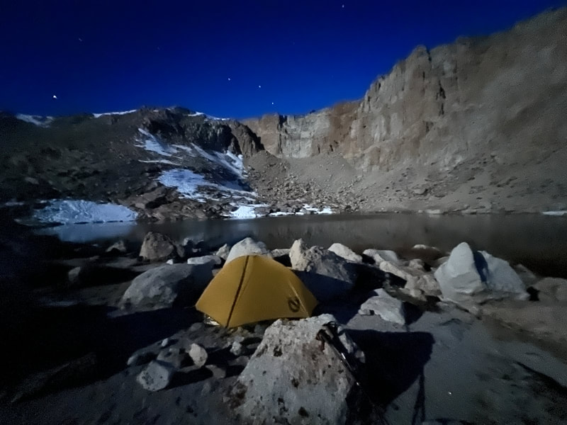
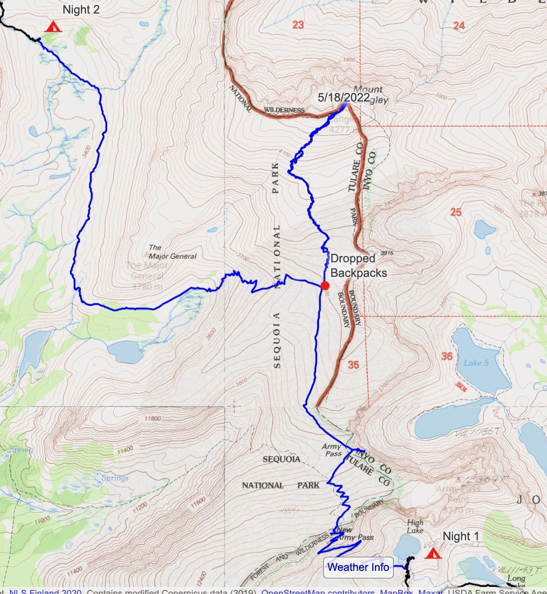
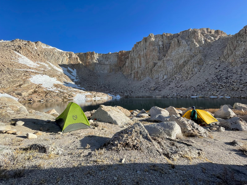
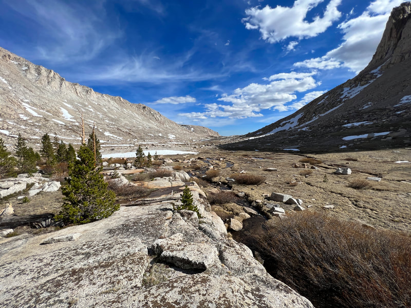
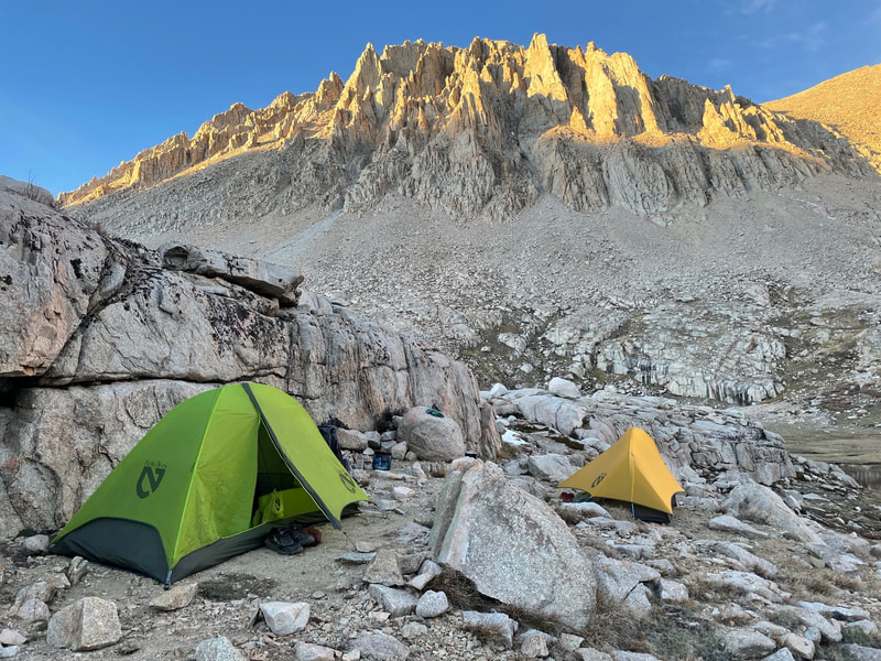
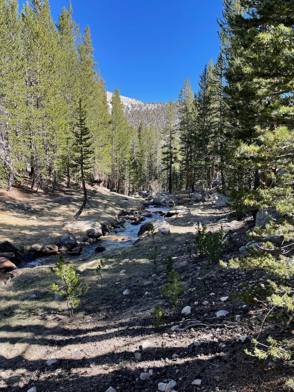
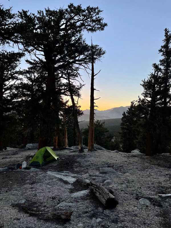
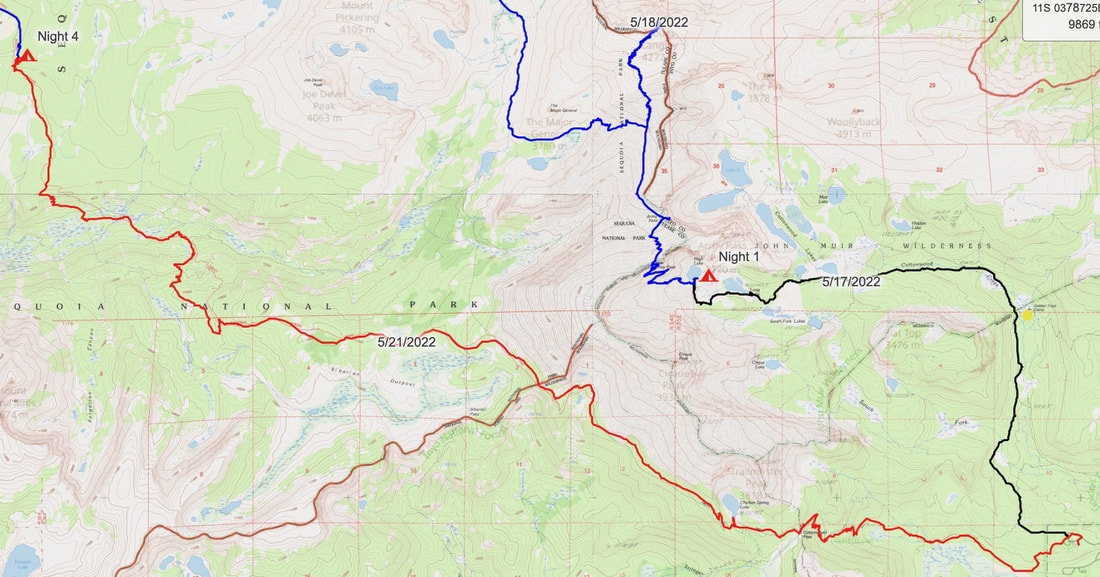
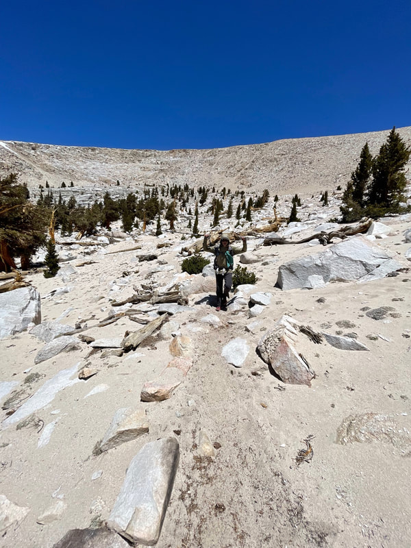
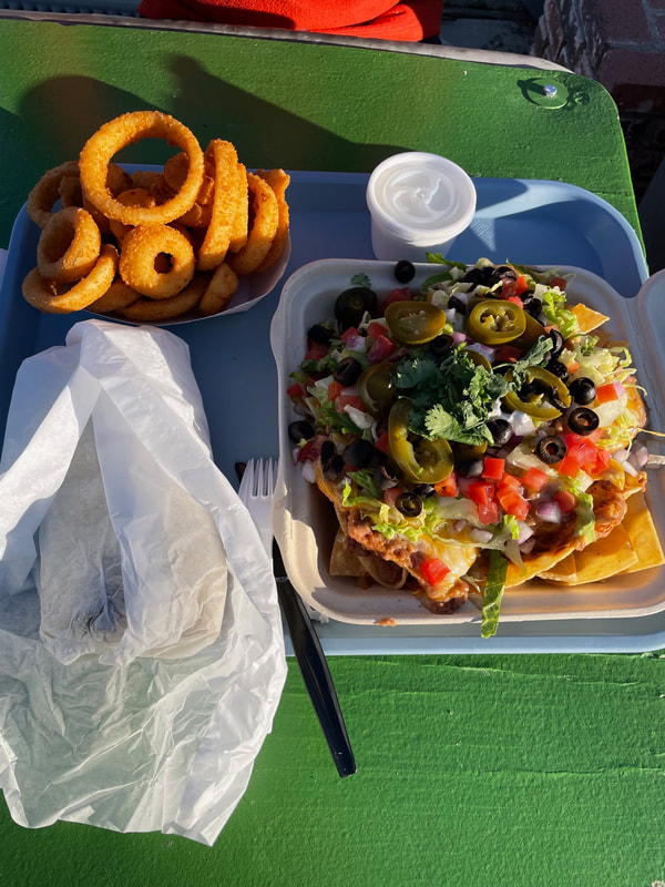
Elevation Gained-1676 ft Elevation Lost-249 ft Daily Miles-7.41 Total Miles-7.41 It’s 10:15pm as I settle in to write this. We hiked till just before dusk, stopped at Cottonwood Lake #2 to make dinner, and then continued up the trail to High Lake to set up camp. We had a nice warm up on day one as the trail gradually ascended the valley. With a pack full of 6 days of food, it was a heavy day. At Cottonwood Lake #1 we saw a group of three tents and some campers from far away. We saw no one else all afternoon. This was a trip that Pablo and I had planned to take one year ago. The same conditions existed then as well. A very low snowpack in the southern Sierra Mountains plus an early opening to Horseshoe Road because of that low snowpack. Last year, the weather changed on us just days before the trip and temperatures, with the windchill, dropped into the single digits. This year was very different. At least we thought it would be. Just before 8pm we stopped at Cottonwood Lake #2 and made dinner while it was still light. As we worked and ate, the wind picked up and the temperature dropped significantly. We hurried to pack up knowing we had about an hour more of hiking. The next hour was tough for me. Eating a big meal and starting to hike uphill in the dark cold night was tough. My hands grew colder as we hiked. Getting camp set up, I took my thermometer off my pack to see it was a chilly 39 degrees. I hung it in my tent, and got changed. In that short time the temp inside was now 46. Being in my tent for the first time in months after cowboy camping in the Condor Trail and then using my bivy in Henry Coe and Hetch Hetchy, I felt like I was in a castle in the Nemo one person tent. Time to get some sleep! |
|
Day #2
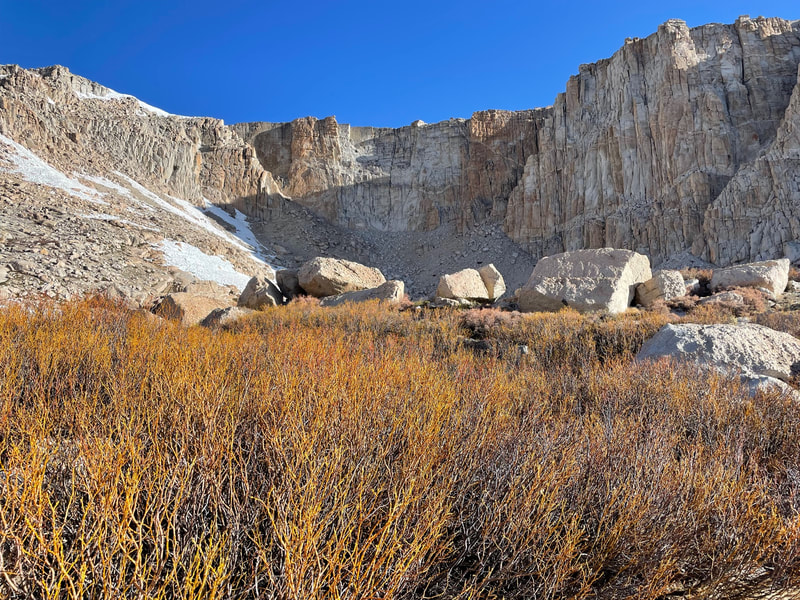
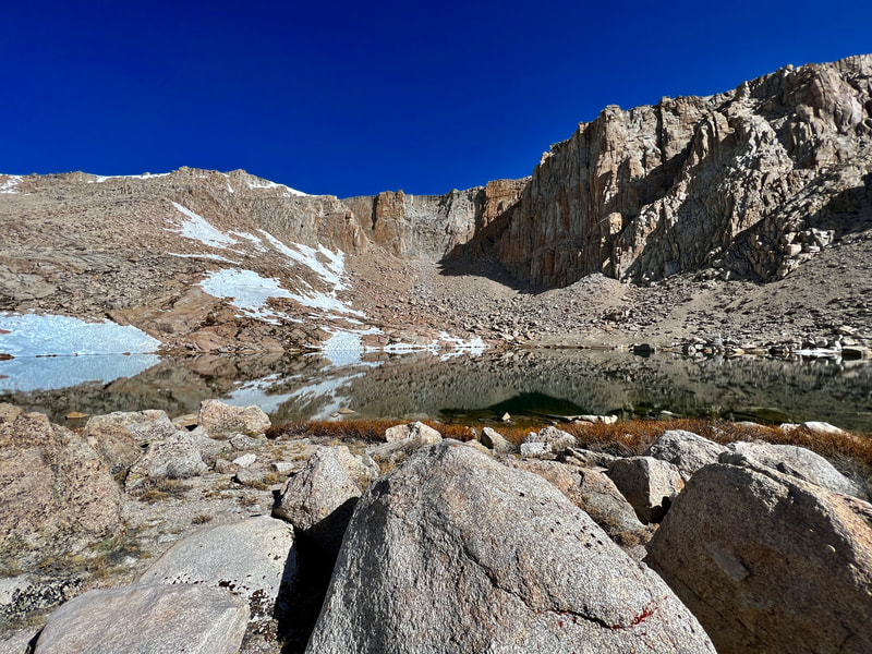
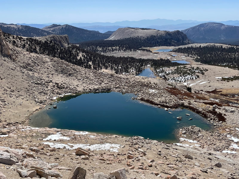
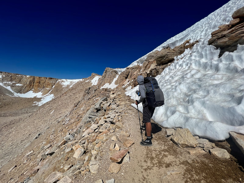
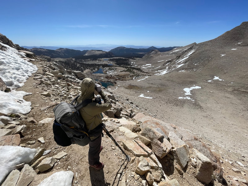
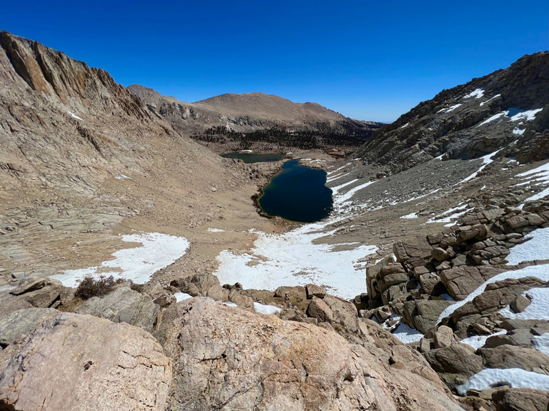
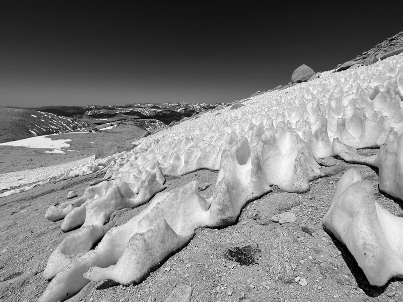
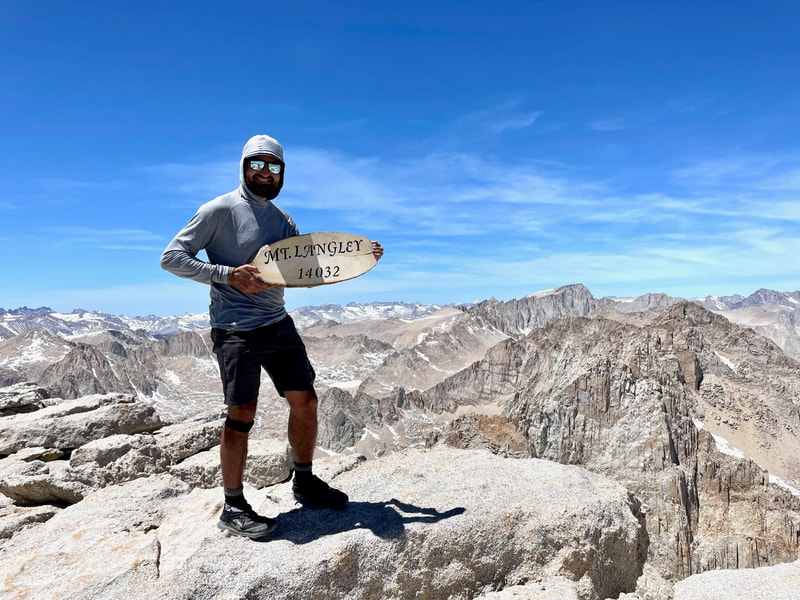
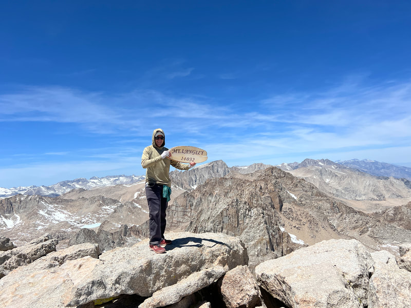
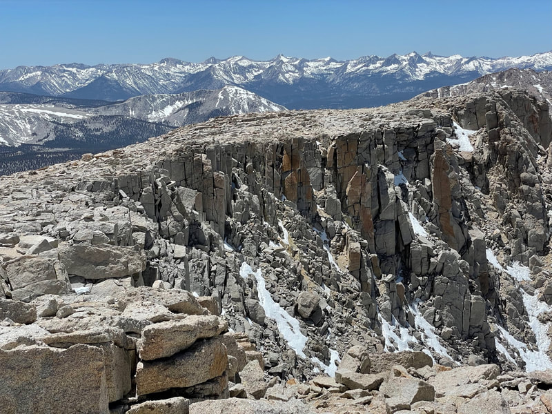
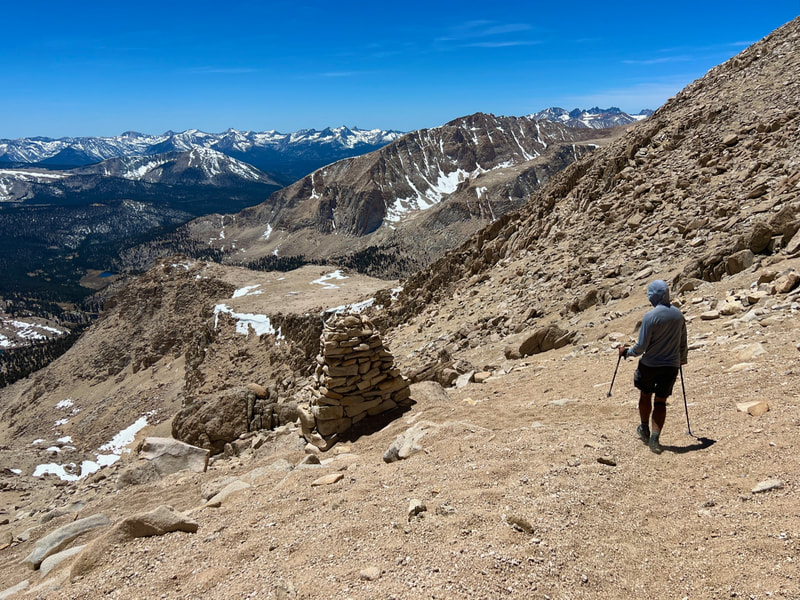
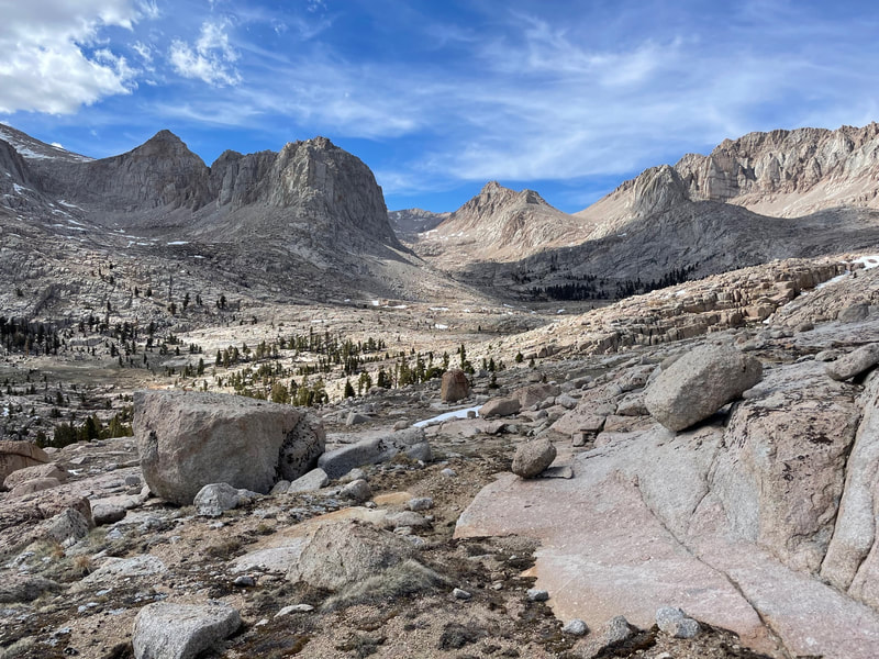
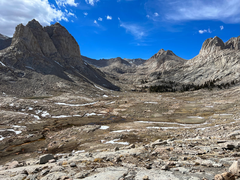
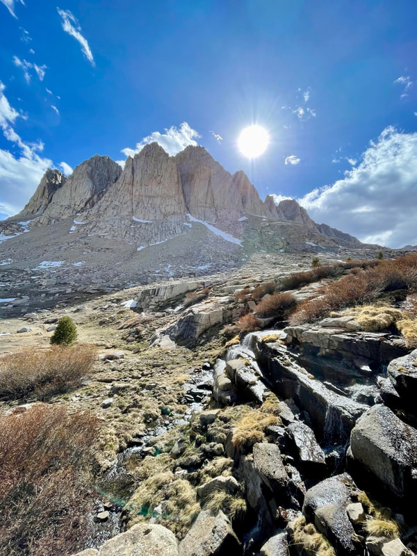
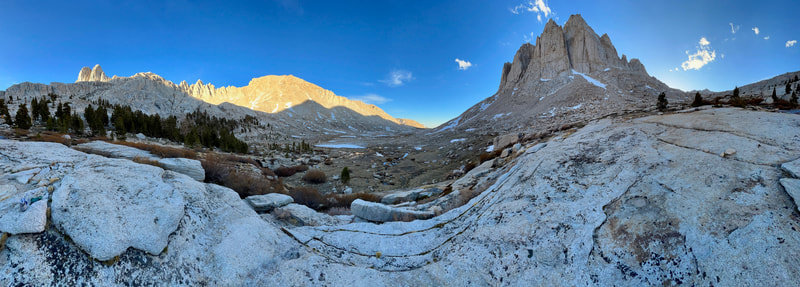
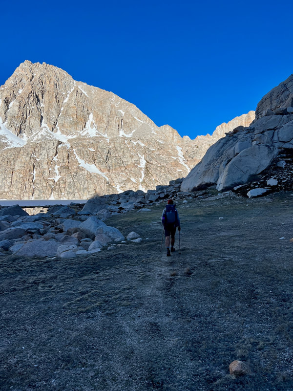
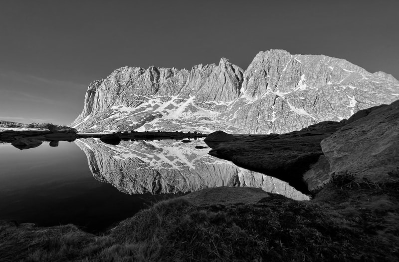
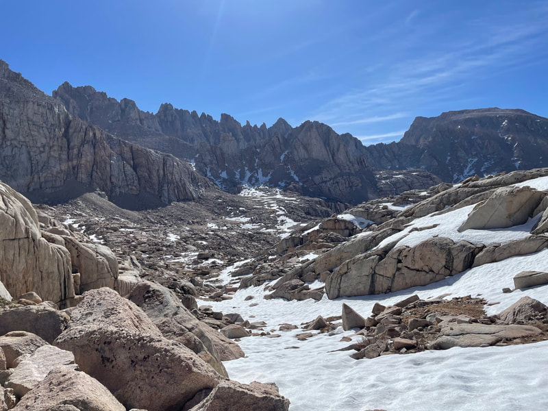
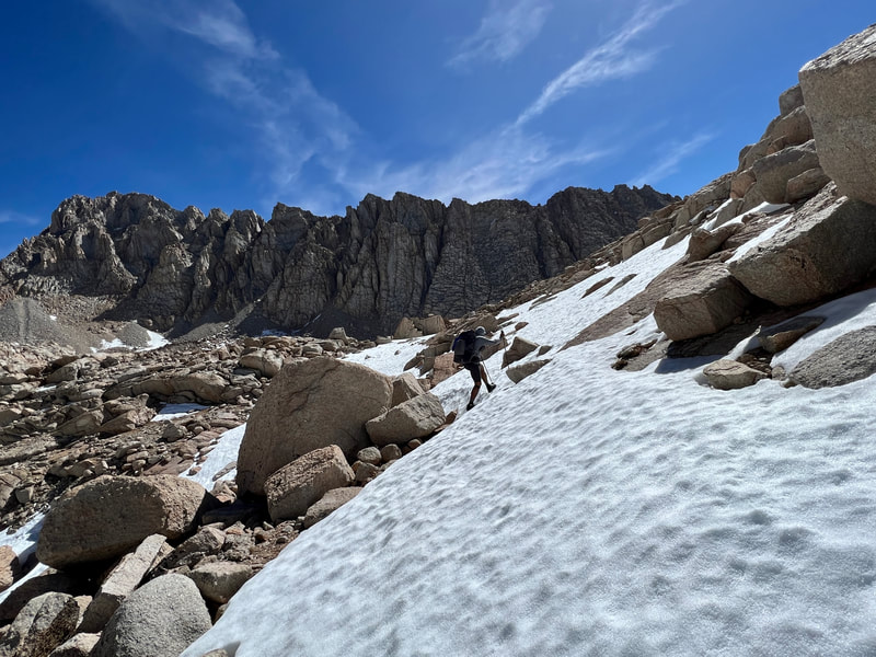
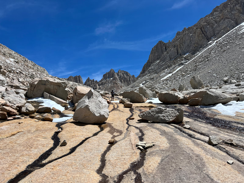
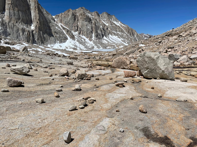
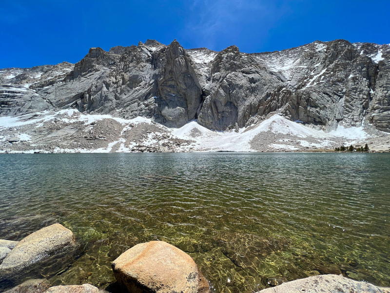
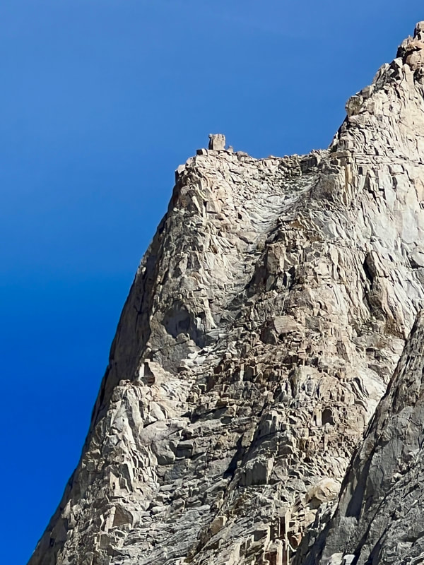
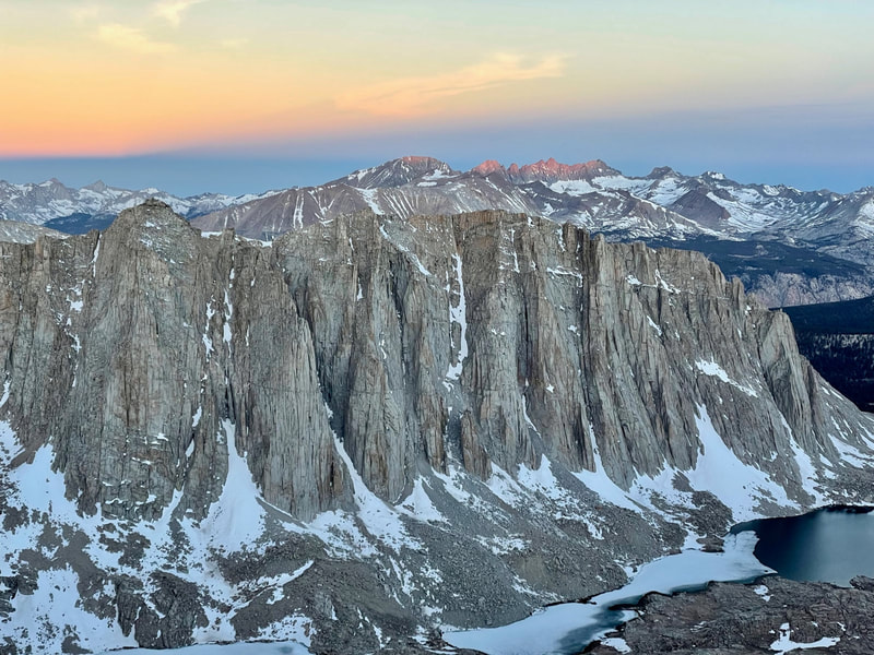
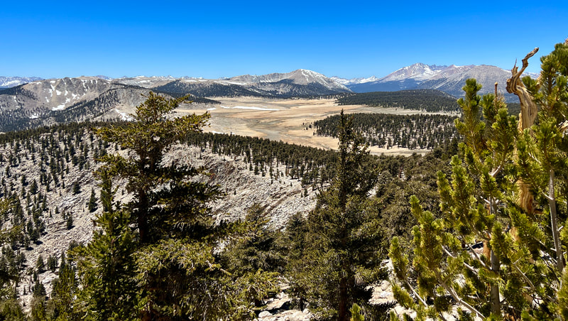
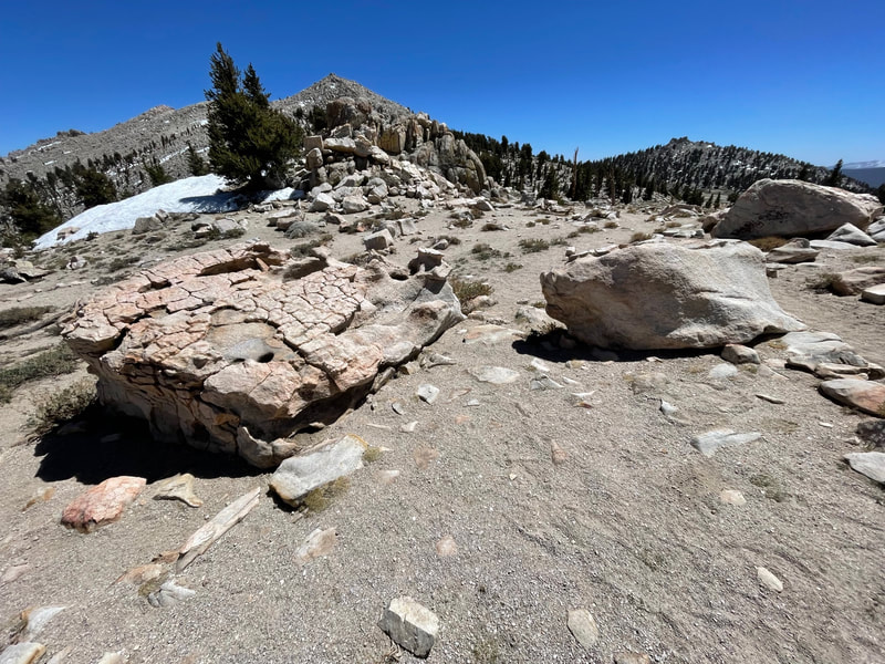
Elevation Gained-3210 ft Elevation Lost-3401 ft Daily Miles-10.4 Total Miles-17.81 Decent night of sleep. The wind was gusting for the first hour or so. After each gust, it would sound like it was raining for about 15 seconds. Pablo and I discussed it in the morning and decided it was grains of granite settling on our rain flys after being picked up by the wind. We let the sun warm our tents and slept in until 7am. We had arrived in the dark and waking up in a bowl of granite peaks and ridges, dotted with snow fields, was truly awe inspiring. We had some breakfast and hit the trail by 8:30. We were aiming for the top of New Army Pass after deciding the day before that Old Army Pass would be too sketchy with the amount of melting snow left. This snow greatly increased the chances of rock fall. We had spikes and we had Whippets (a trekking pole with an ice ax attachment) but we didn’t have helmets. New Army was pretty straight forward with the exception of a 25 foot incline of snow near the top. We took it slowly, carefully picking our steps and topped out the pass safely. Once at the top, we took a break with a view to the east of the White Mountains in NV and to the west, the Kaweah Range in Sequoia National Park. After a snack we continued along the ridge until topping Old Army Pass. In looking straight down the sketchy snowfields and boulders, we knew we’d make the right choice. We continued to a spot we had marked on the map with a side trail. Here, we dropped our packs and filled out pockets with snacks, phones, and water. This was in preparation for Mt. Langley. At 14,032 feet, it’s the ninth highest mountain in CA and was first climbed in 1871 by Clarence King. About halfway up, we noticed two hikers gaining on us fast. As we got closer to the top, the two caught us. We talked for a few and they continued on. Mt. Langley, very recently, acquired enormous rock cairns that help lead a hiker to the top. These 2-8 foot piles of rocks were built by work crews in an effort to keep hikers to one foot path and to hopefully not walk all over the fragile ground. We passed a few more cairns before finding the two hikers at the summit. We chatted for a while and heard about their 2 week trip from Utah to climb peaks daily in the Eastern Sierras. We said our goodbyes and watched them kick up dust on the way down. In no time at all, we reached our packs and got going again on the side trail that would drop us just above Soldier Lake. On the switchbacks on the way down, we spotted two Bighorn Sheep way above us on the side of Langley. I got out my scope and we got pretty good views of them. It’s amazing how effortlessly they blend into their environment. As we skirted above Soldier Lake we were greeted with an incredible site. The Miter Basin is a granite canyon between 11,000 and almost 13,000 feet. It starts just above Soldier Lake and continues past numerous lakes, tarns (high elevation ponds without names) and waterfalls all the way up to Crabtree Pass. We found a tarn to get some water and have a snack. The views were unbelievable. The next hour was completely off trail, sometimes on meadow, others in talus and still others hopping streams or crossing snow. We continued on to about halfway up the valley to a camp we had marked before the trip. A good friend, Derek, had shared the spot telling me that he didn’t camp there, but wished he had. We hope being camped there ourselves helped rectify that just a bit. Fun evening of conversation, cleaning up, dinner and some wandering around. Tomorrow should be another spectacular day. |
|
|
Day #3
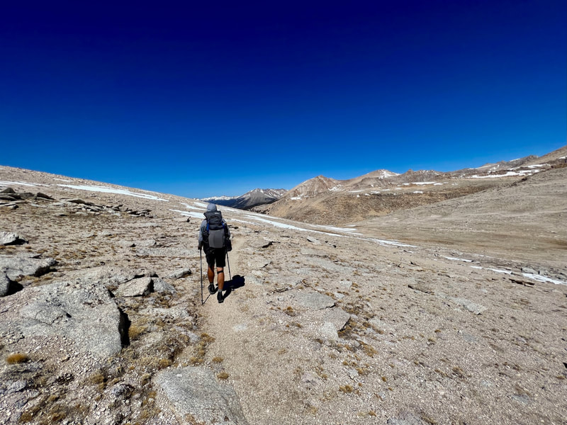
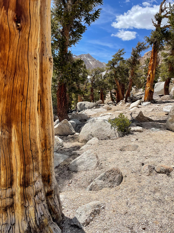
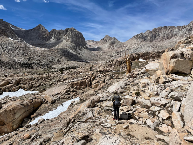
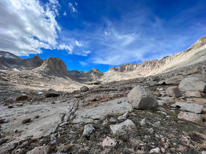
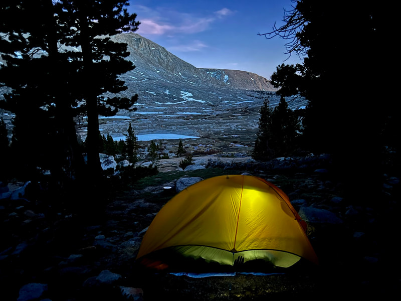
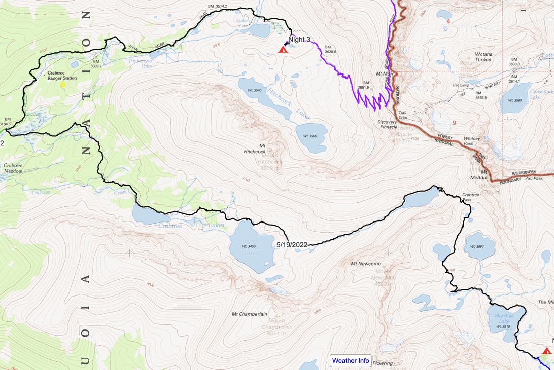
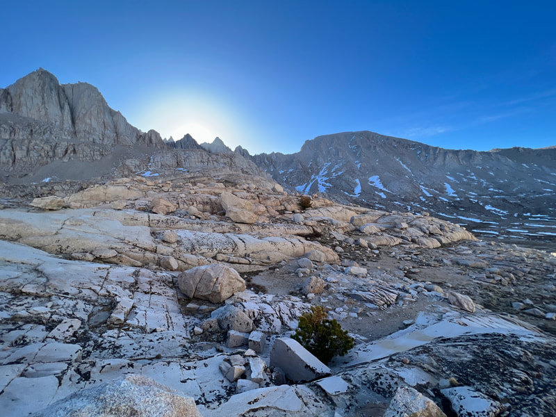
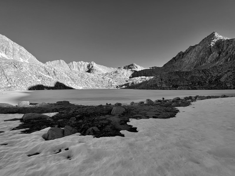
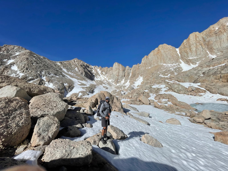
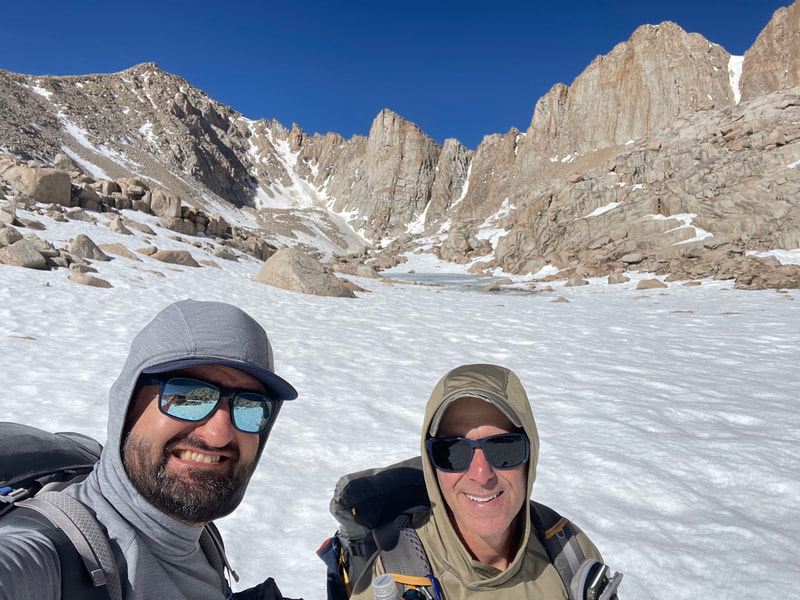
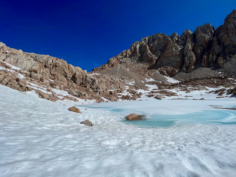
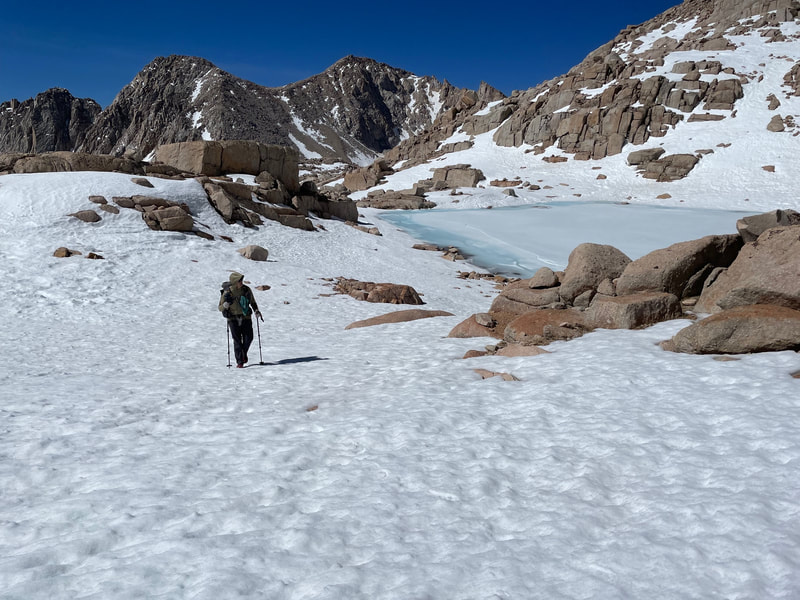
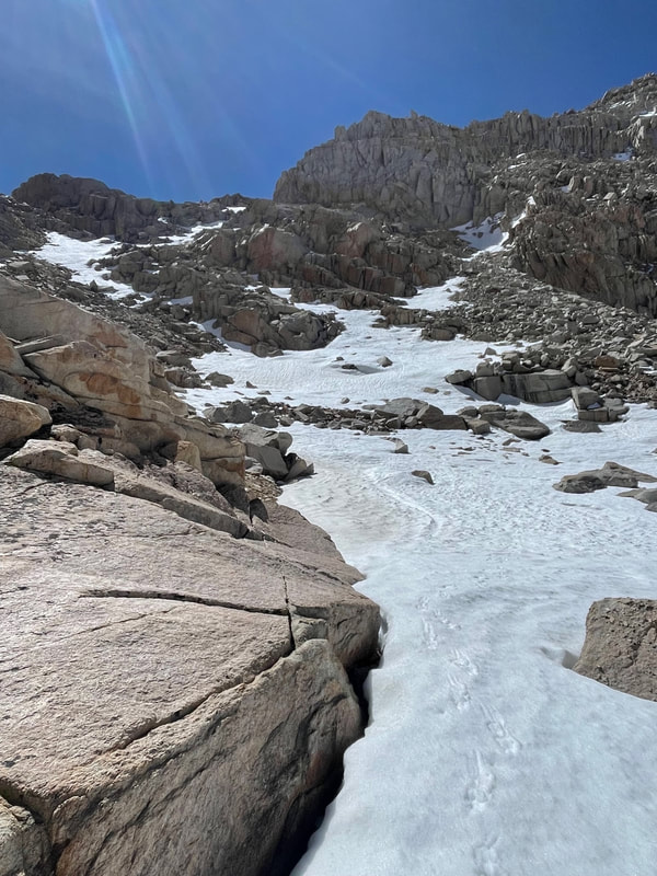
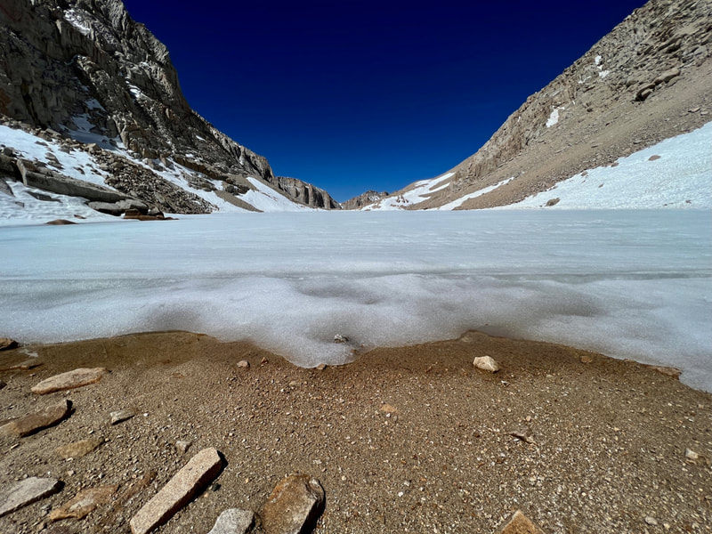
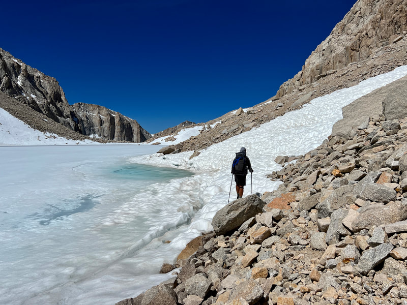
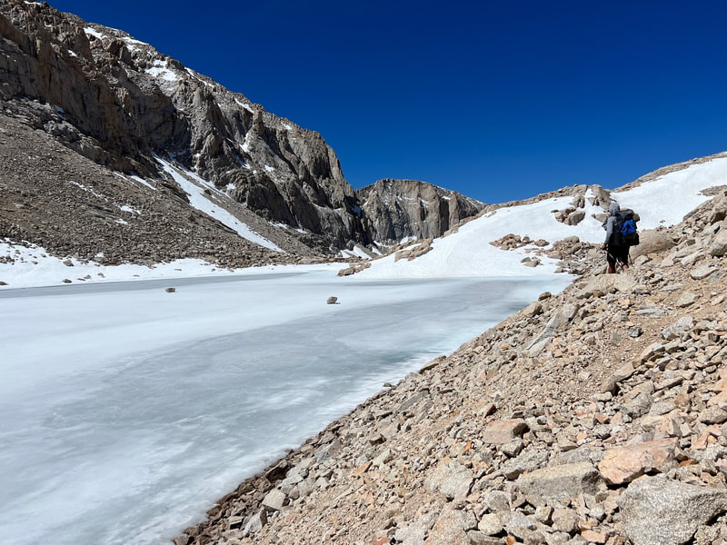
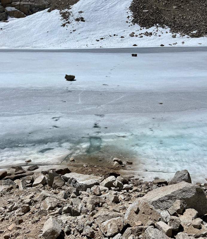
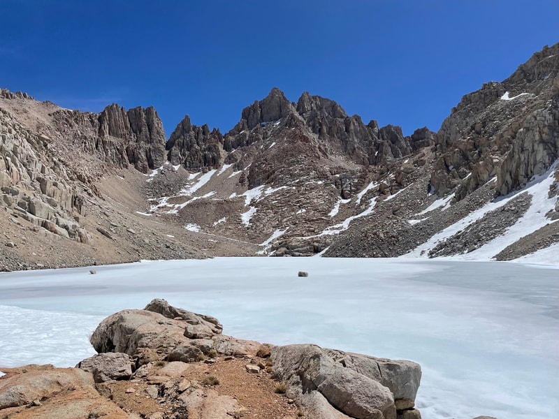
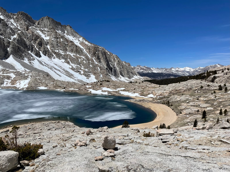
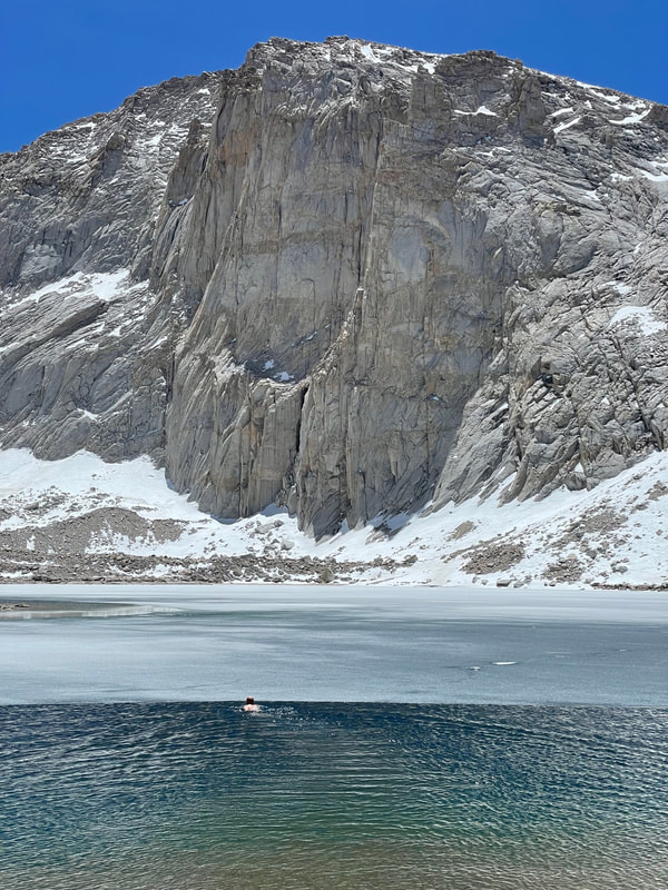
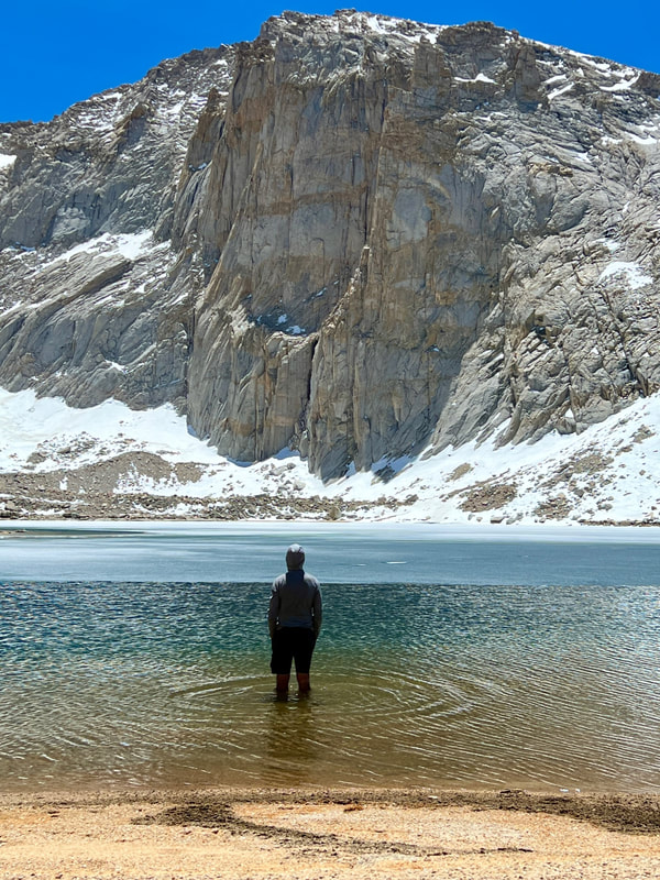
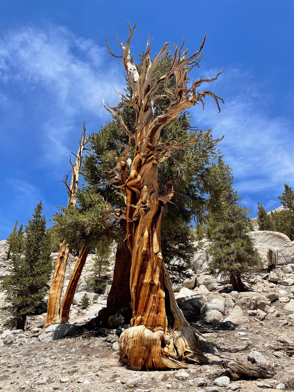
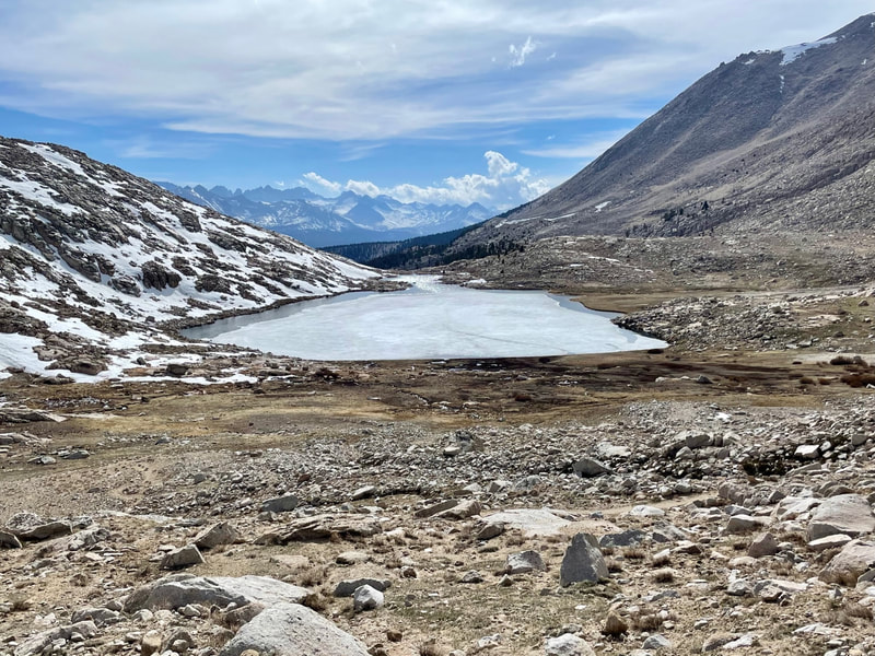
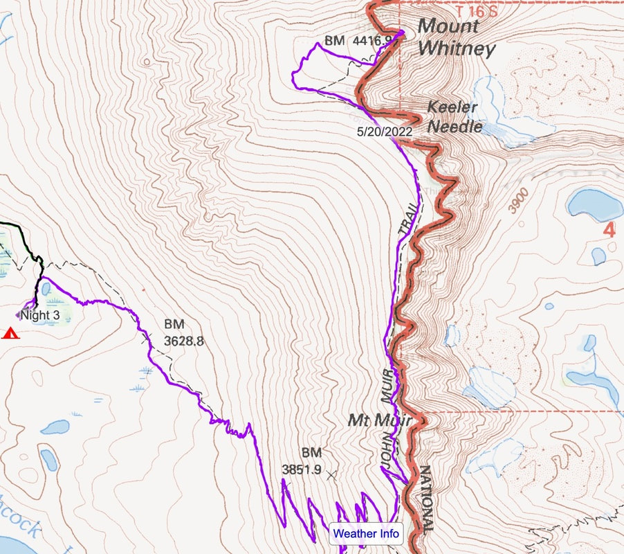
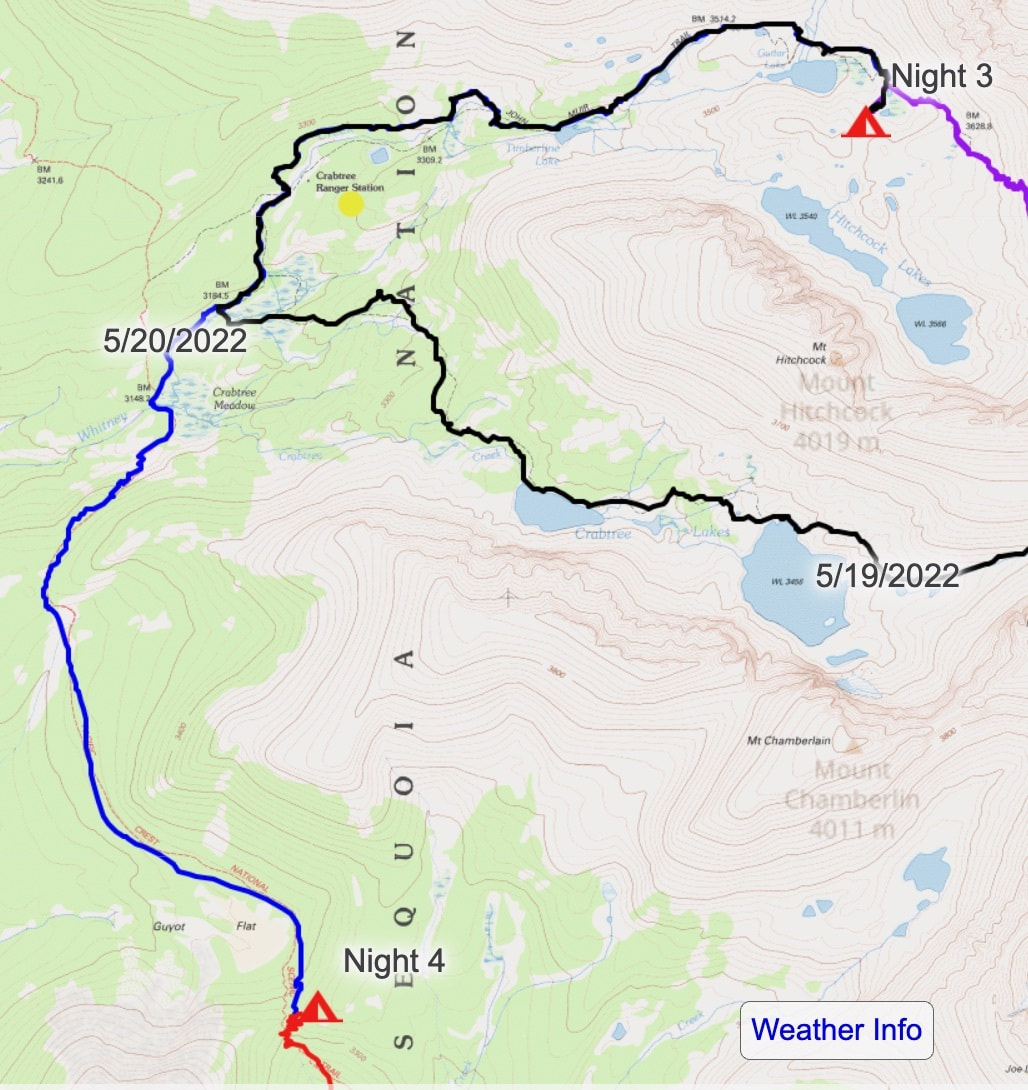
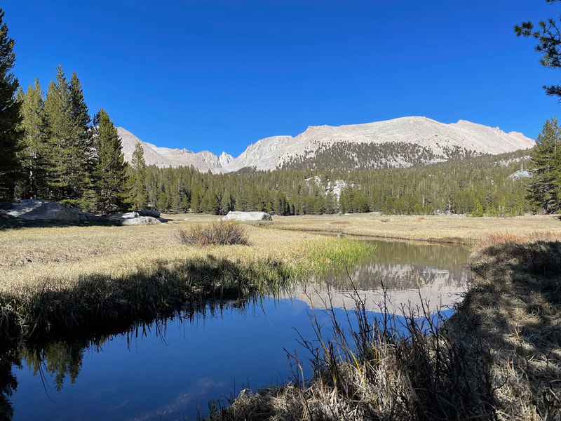
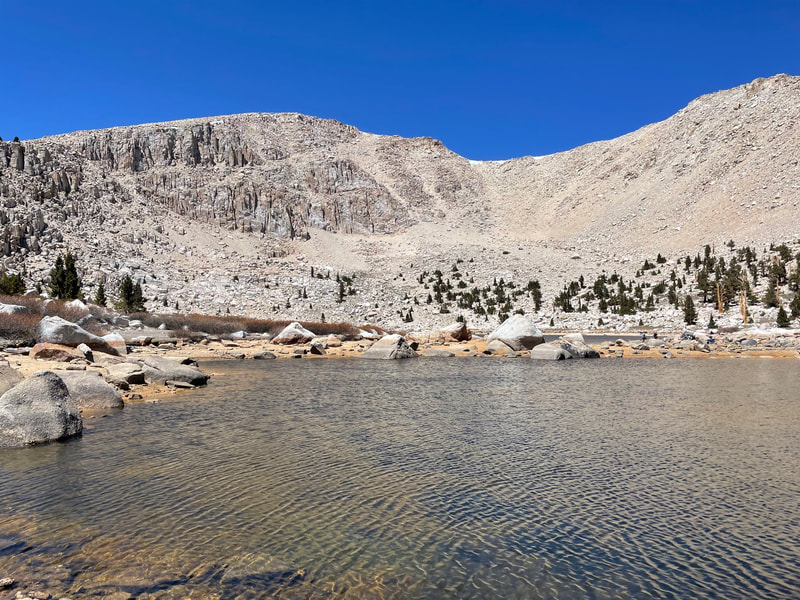
Elevation Gained-3039 ft Elevation Lost-2676 ft Daily Miles-13.59 Total Miles-31.40 Listening to the waterfalls as I fell asleep last night was magical and so was the light of morning. We packed up and got going and decided to eat in the sun once it made its way high enough to penetrate the interior of the steep walled and narrow Miter Basin. We climbed the waterfall, and a couple other minor rises, and arrived at an almost entirely frozen over Sky Blue Lake. We walked to the back side of the lake, found the sun, and had our breakfast. Today would be focused on map reading and micro navigation. There were many opportunities to make poor decisions in this maze of rock, ice and greenery. We wanted to make sure that we didn’t add unnecessary miles, or more importantly, elevation to our trip through the basin. After navigating our way past 5 or so tarns and 2-3 unnamed lakes, all sitting directly under the summit of Mt. Langley where we’d been yesterday, we arrived at the crux of the Miter Basin, Crabtree Pass at 12,927 ft. The pass has much less snow than I’d predicted and we didn’t need spikes or ice axes on the way up. The way down was through a chute I’d read about to the left of the pass. Part of that shoot still had snow and ice and it was a bit tricky to stay out of it. But stay out it we did. Pablo put his spikes on towards the end. I decided to walk around the final snowfield. Upper Crabtree Lake greeted us at the bottom with two gigantic boulders sitting on top of the lake which was frozen over. As we got closer to the boulders we could see the path they took from the top of the cliffs above and then literally bouncing across the lake until they came to a rest. This valley is one I’ve always wanted to come to and it didn’t disappoint. Three Crabtree Lakes (Upper, Middle, and Lower) with no trail until the end. We took a break at Middle Crabtree Lake to admire its sandy beach. Even though the lake was about 1/2 frozen over it looked swimmable. As we walked away from the warm beach Pablo could sense my sadness and suggested I go for a swim. And swim I did, taking a running dive from the beach and swimming out to touch the ice. It was exhilarating. The warm sand dried me off quickly and we were on our way. We dropped hundreds of feet through a beautiful forest, the first we had seen since the trailhead, and then met up with the trail leading into Crabtree Meadow. It felt like an old friend as I’ve been up this trail, the entrance to Mt. Whitney, many times before. We wound our way up following Whitney Creek and arrived at the bustling Crabtree Ranger Station with a plethora of hikers base camped to climb Whitney. We continued past the hikers and up past Timberline Lake, stopping at Guitar Lake for a bit and then headed up to a pair of tarns suggested to me by my friend Derek who had camped there the summer before with his daughter. For the second night in a row, Derek’s intel did us right. It was a beautiful spot and climbing the hill that served as a windbreak, provided a beautiful view of Guitar Lake. An early bed for us after dinner as we hope to hit the trial tomorrow at 4am to attempt Whitney. |
|
|
Day #4
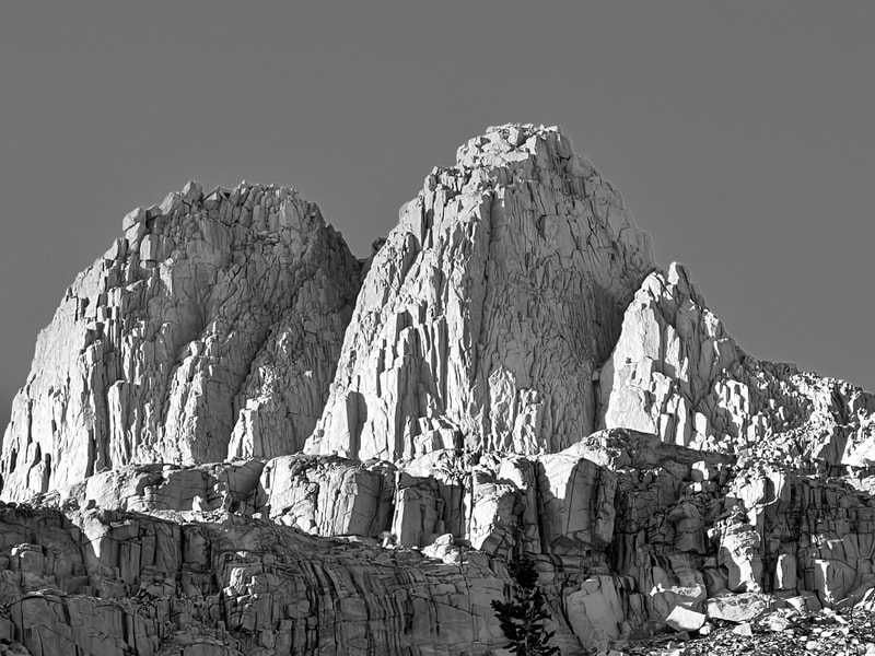
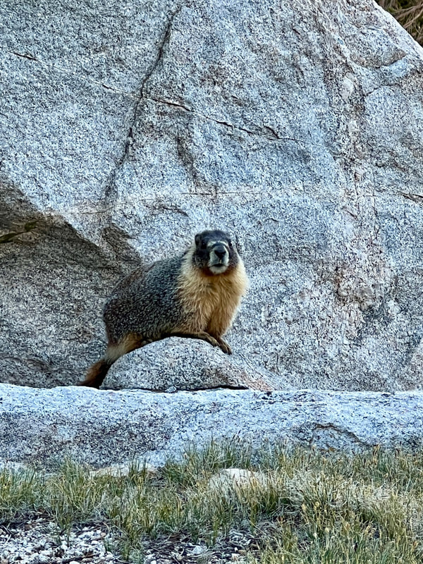
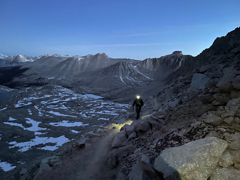
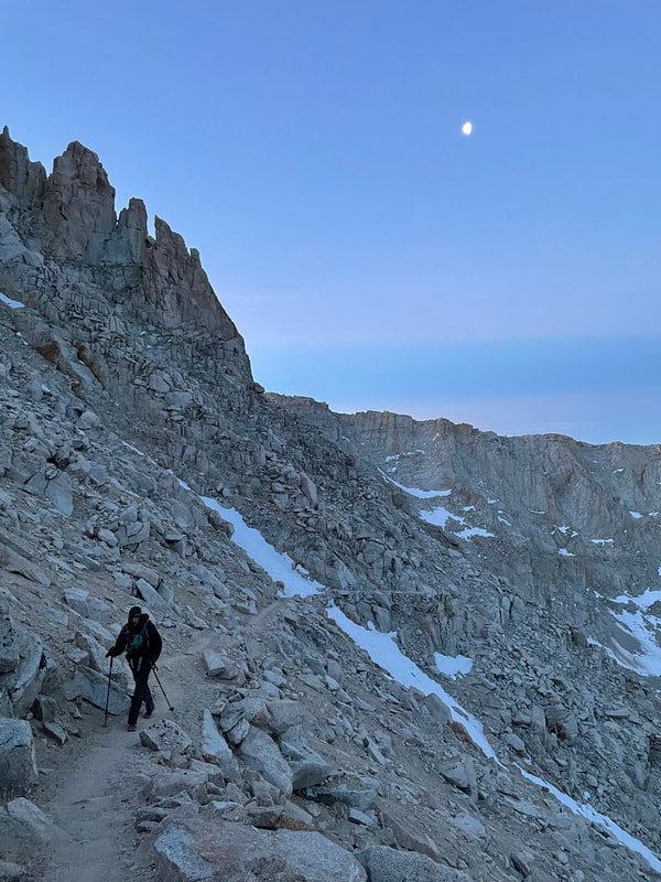
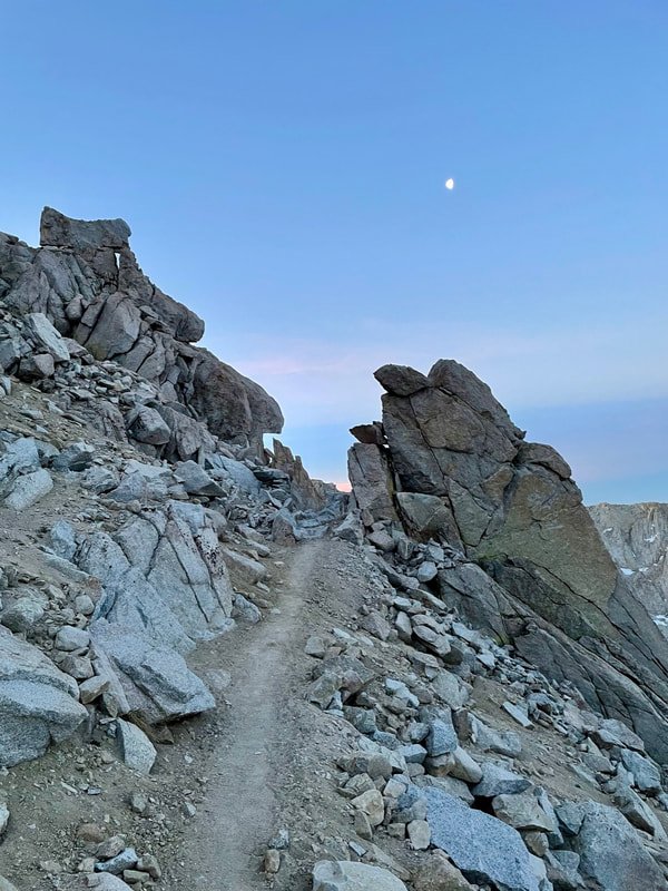
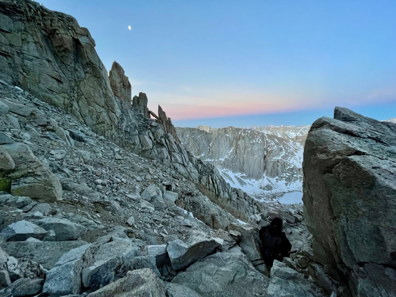
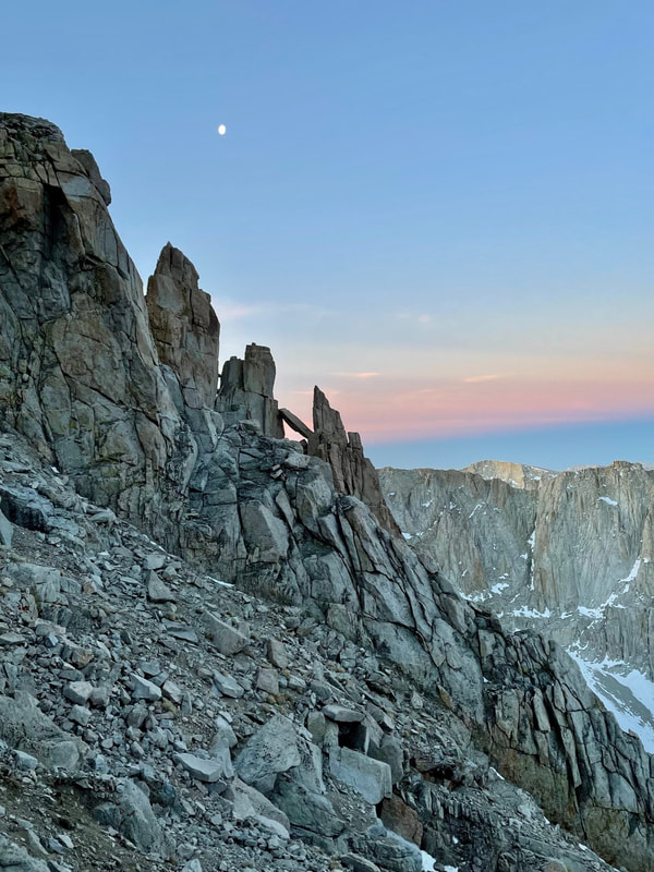
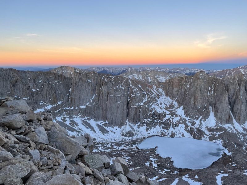
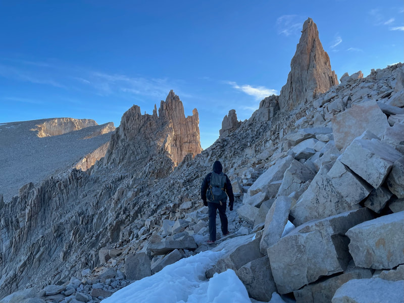
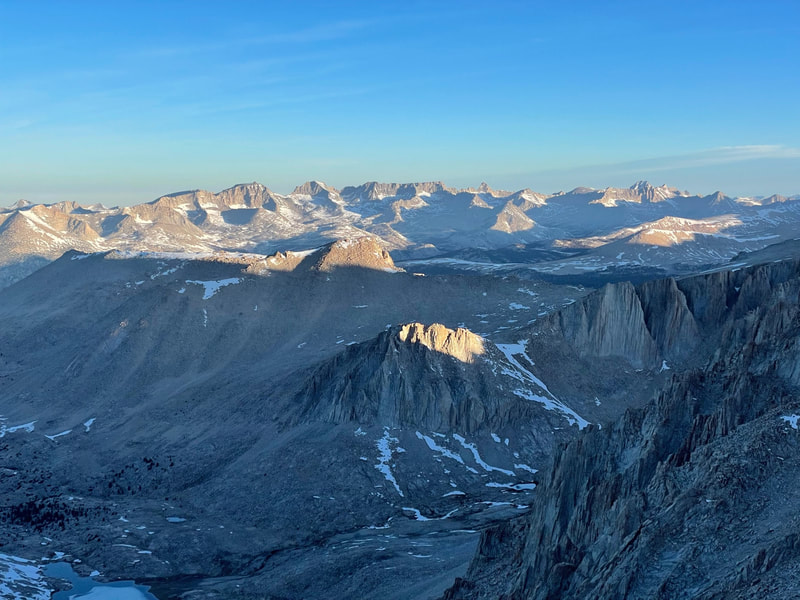
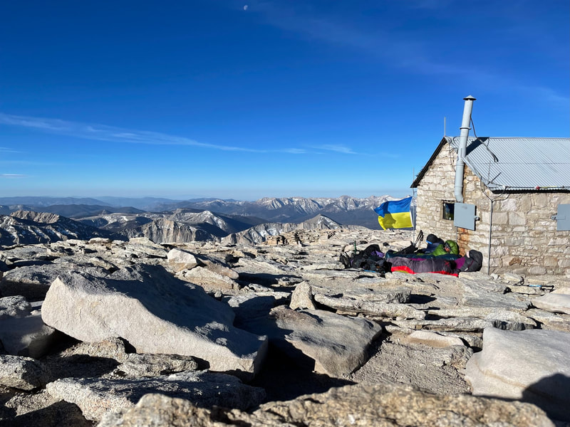
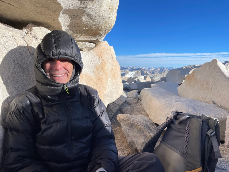
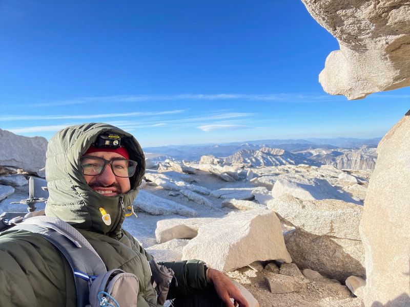
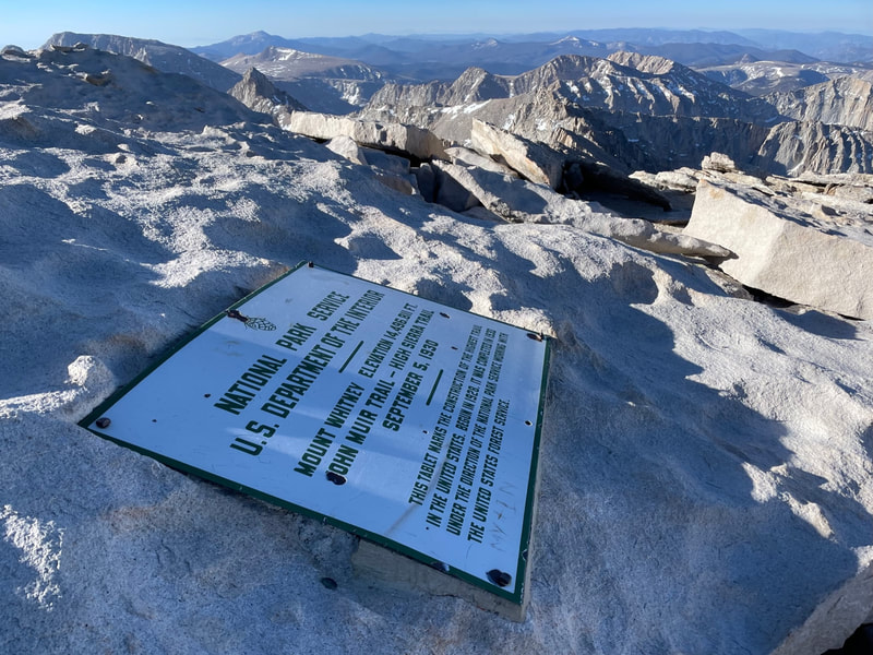
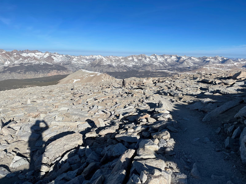
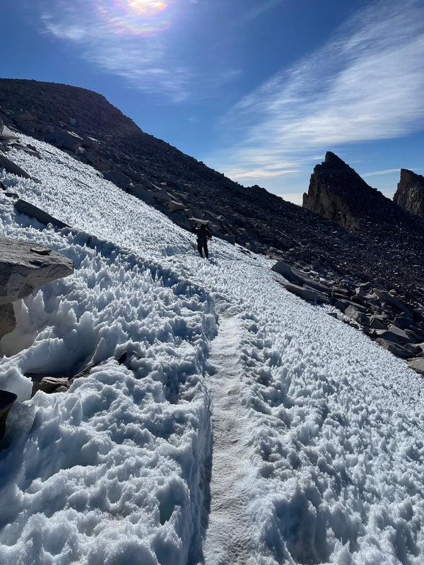
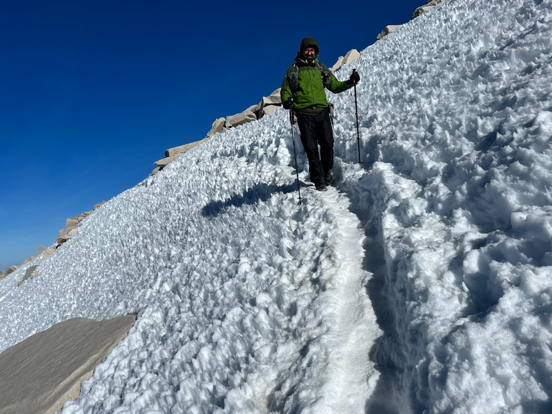
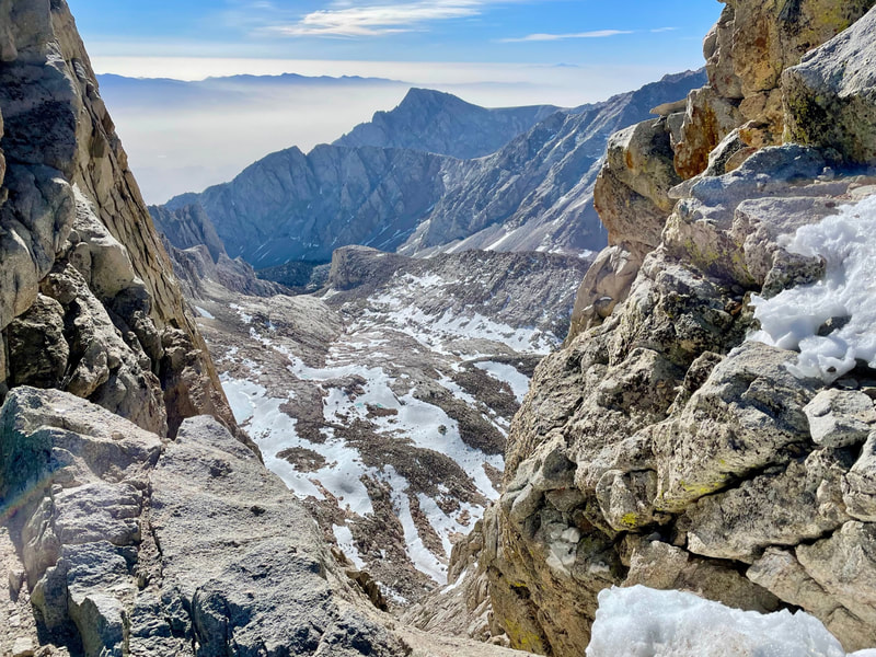
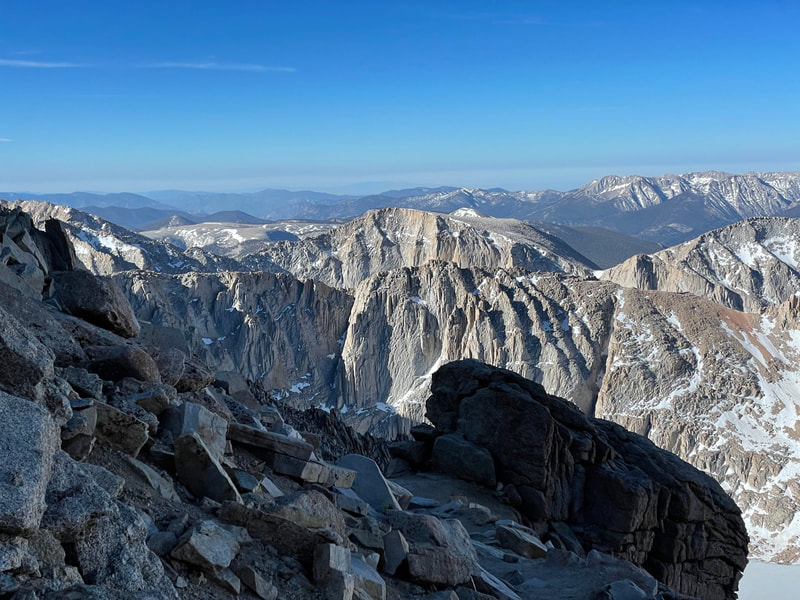
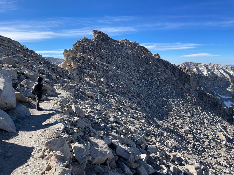
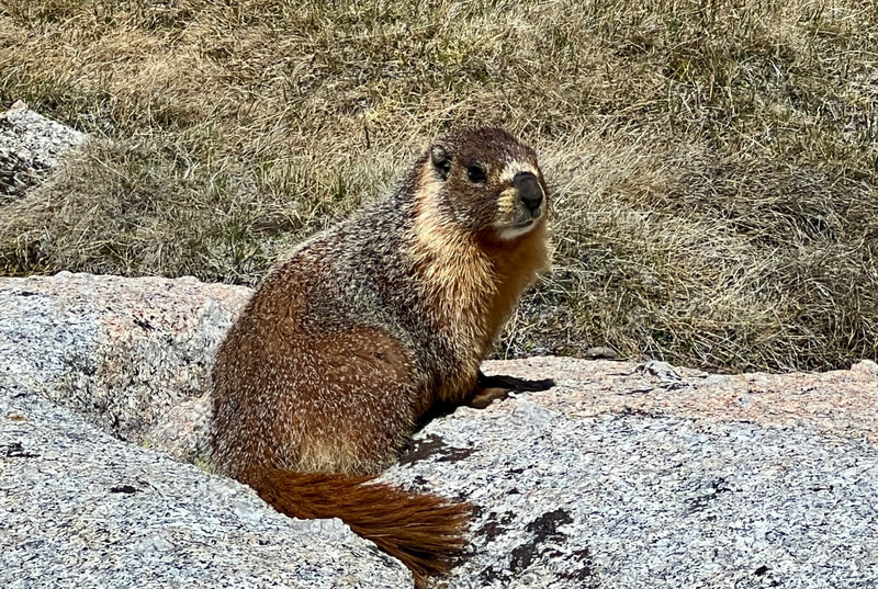
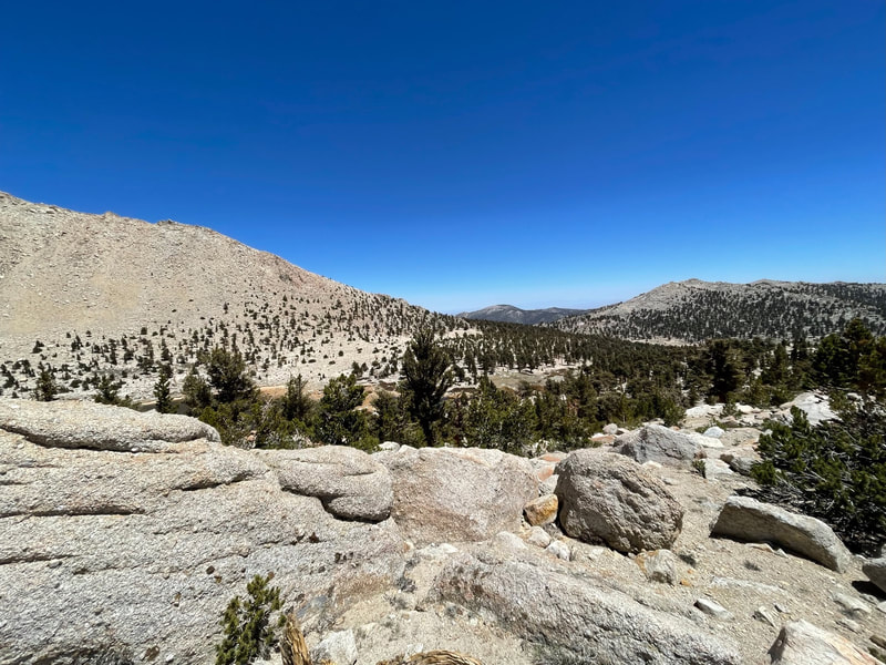
Elevation Gained-4149 ft Elevation Lost-4851 ft. Daily Miles-17.26 Total Miles-48.66 Good night sleep but woke up multiple times in anticipation of Mt. Whitney. I’ve been to the top, I think 3 times, but always with a full pack at the end of a trip. This time it would be with only the essentials as we would leave camp set up while gone. Woke up at 3:30 for a 4am start. It was about 37 degrees and the warmest it would be for hours. Just 30 minutes into the ascent, the wind picked up. Within another hour, we had a constant gale of at least 25 mph with gusts into the low 40s. At Trail Crest, which is where the eastern route from Whitney Portal off of 395, the temperature was 27 degrees and we estimated the wind speed at least 30, bringing the temperature we felt to about 18 degrees. Both of us were staying pretty warm with as many layers as we had on, but my hands were painful and unusable and Pablo’s weren’t far behind. A mile before the summit the gusts picked up to at least 50 mph not only bringing the temperature we felt down to about 9 degrees, but also threatening to blow us over. Luckily, the winds subsided as we crossed the one and only significant snow field in the last half mile. The top felt like a hurricane. We huddled behind a table top rock and tried to stay warm. The plan was to have breakfast and coffee at the top but taking our hands out of our gloves just wasn’t going to happen. Taking some sips of water we realized that both of our bottles were forming chunks of ice crystals both floating in the water and clinging to the insides of the bottles. It was time to go. So, on this fourth trip to the top of Whitney, the highest mountain in the contiguous US, we stayed only about 15 minutes. Now that the sun had risen, the light to the southwest was spectacular and Pablo braved the elements to take off his gloves and be the designated photographer. There were many hikers going up and coming down the trail to and from Whitney and almost all were PCT thru-hikers. All were cheery and strong. I felt stronger as we descended but never very cheery. Pablo on the other hand can be miserable and yet always remains his cheery self. It got warmer as we descended but both of us felt that our core temperatures had dropped so much that we left all our layers on. Arriving back at our camp at about 9:30 we each collapsed into our tents and took an hour nap. The hike up and back to the tallest mountain in the contiguous US had taken us 5 ½ hours. Boom. We awoke to make breakfast at around 11 and then just sat and enjoyed the warm sun, food and water until about 1 pm before packing up and hitting the trail about 2pm. We saw marmots everywhere and even more hikers. Some were going up and some, coming down. We hit Whitney Creek, got water and hiked 4ish more miles to Guyot Pass to a spot I’d marked on a map and set up camp. Food, water and laughter. A beautiful evening. |
|
|
Day #5
Elevation Gained-2604 ft Elevation Lost- 3499 ft Daily Miles-17.85 Total Miles-66.51 Cold night last night, down to 26 degrees. We packed up quickly to have breakfast in the sun some miles down the trail. Today was a walk through the forest. The trail dropped 1500 feet to Rock Creek before climbing back up 2500 feet to Chicken Spring Lake, the place we were supposed to stay on our last night. As we walked we talked about the fact that our camping spot was only 4.5 miles from the car and if the lake wasn’t spectacular, we might just hike out. The lake wasn’t spectacular and it was full of PCT thru-hikers. We had some water, a snack and hit the trail. About a mile from the trailhead we met a ranger putting the finishing touches on cutting a section out of a large tree that had fallen over the trail. We greeted her and Pablo asked if she needed help. She replied that she would in about 3 minutes. We took our packs off to get ready when she asked to see our permit. After asking some standard questions, she was satisfied we were solid backcountry users. She showed us what she had planned. She showed us the two 3 to 4 foot cuts she’d made and the logs she’d placed underneath to act as rollers. She showed us where to stand to push and almost jokingly said, “If you get hurt, you can’t sue me.” We all pushed. It didn’t move an inch. She started working with a shovel to create some leverage. It moved an inch. She sawed a bit more and then used the shovel a few different ways to help us make some movement. We got it rolling and she jumped over to help. It rolled twice and came to rest at an angle with half on the trail and half off the trail She then had Pablo pull his end as she and I pushed our end. After a few “1,2,3 push!” efforts, it was off the trail. It turned out she is originally from Sacramento and told us, “Looks like Sacaramento has good people.” A mile later we were at the car. Our goal was to eat at The Barn in Bridgeport. Just as soon as we got service, I looked it up. Google said it closed at 6pm. It was 4:30 and we were over 2 and a half hours away. I called to double check. The Barn is a place that I've visited almost every time I've come out of the Eastern Sierras. Cheryl is amazing and has owned it since 1983. She answered and asked how far away we were when I explained our situation. She told me that it was "dead right now" but she hoped to try to stay open until about 7pm. Pablo drove like the wind after a quick stop in Lone Pine for Salt/Vinegar Chips and a couple sodas. We arrived at 6:57. She was still open. We moved quickly to the order window and it turned out she had stayed open just for us. We cheered the staff and quickly ordered. We were the last ones on the property that evening. What an amazing ending to an amazing trip. Another spectacular adventure with a spectacular friend. We summited two 14’ers and visited places on my bucket list for years. TOTAL Miles- 66.51 Total Elevation Gained- 14,678 ft Total Elevation Lost- 14,676 ft |
