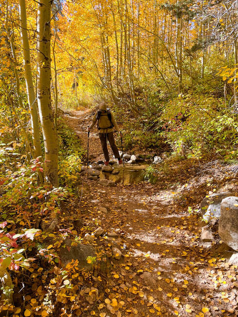
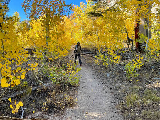
2022 Fall Colors
|
Day 1
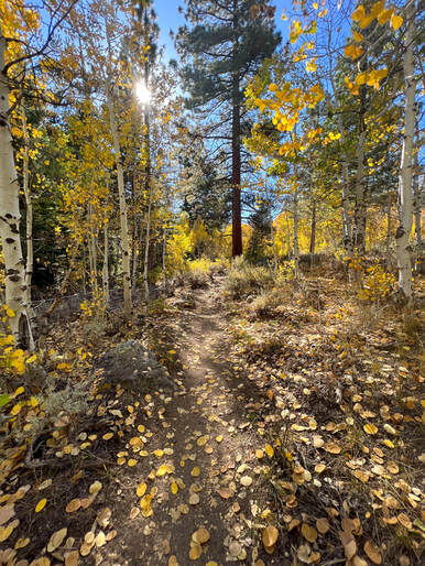
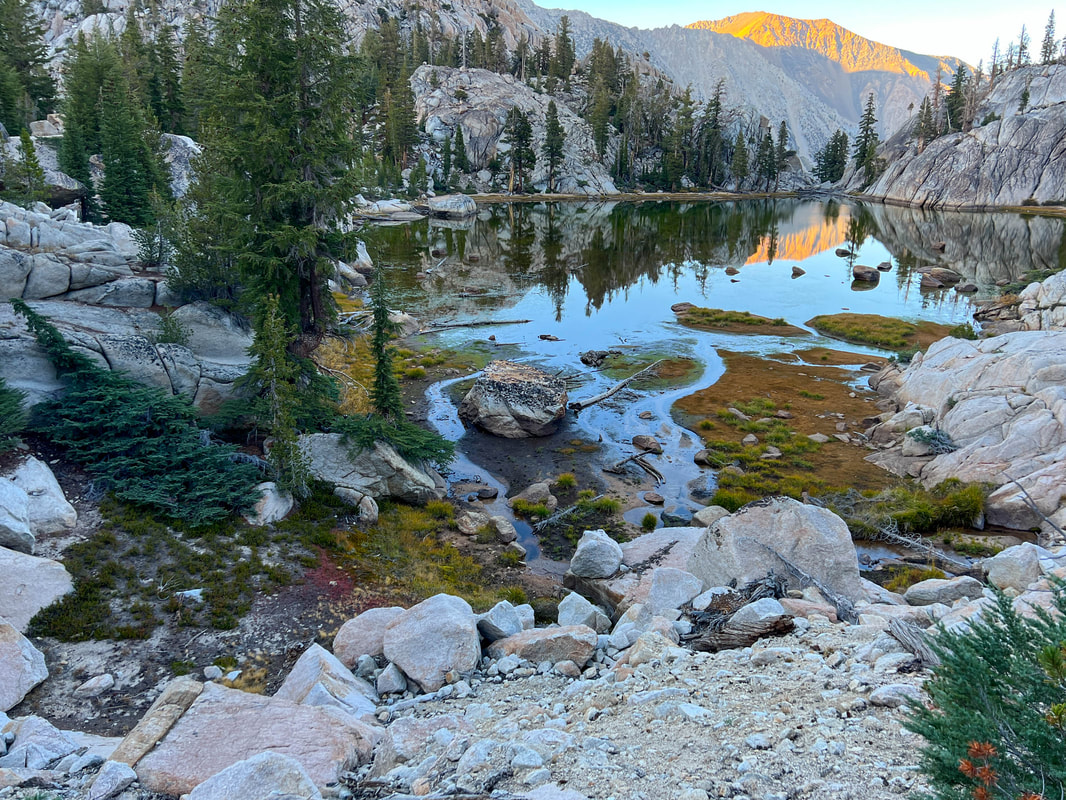
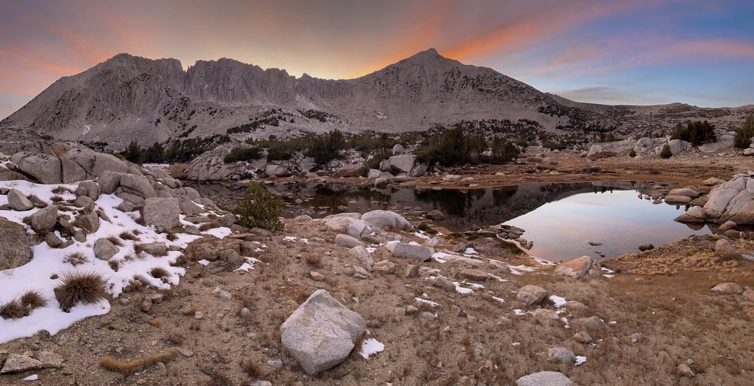
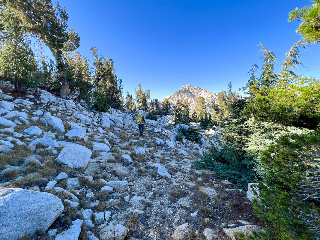
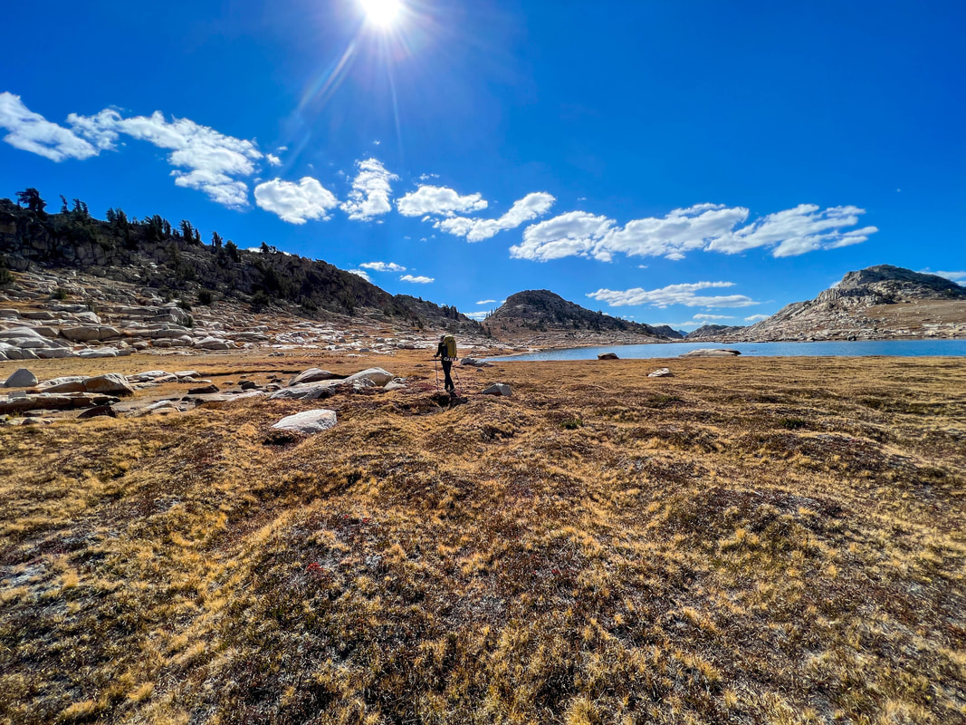
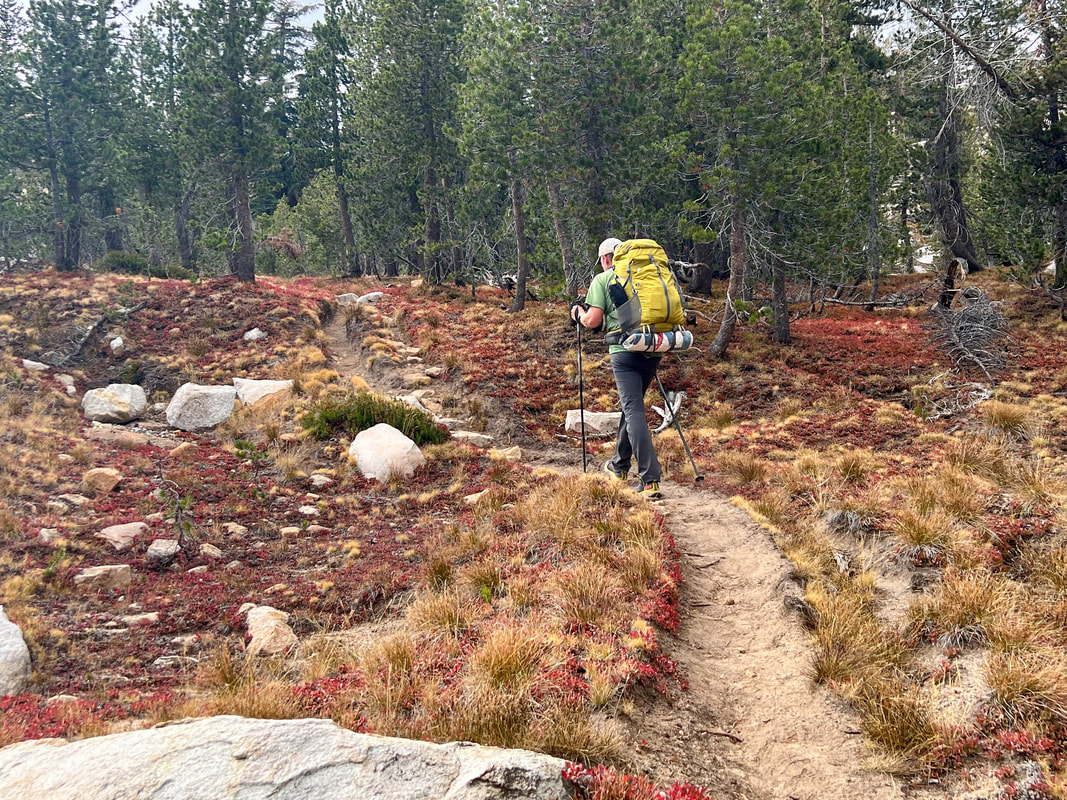
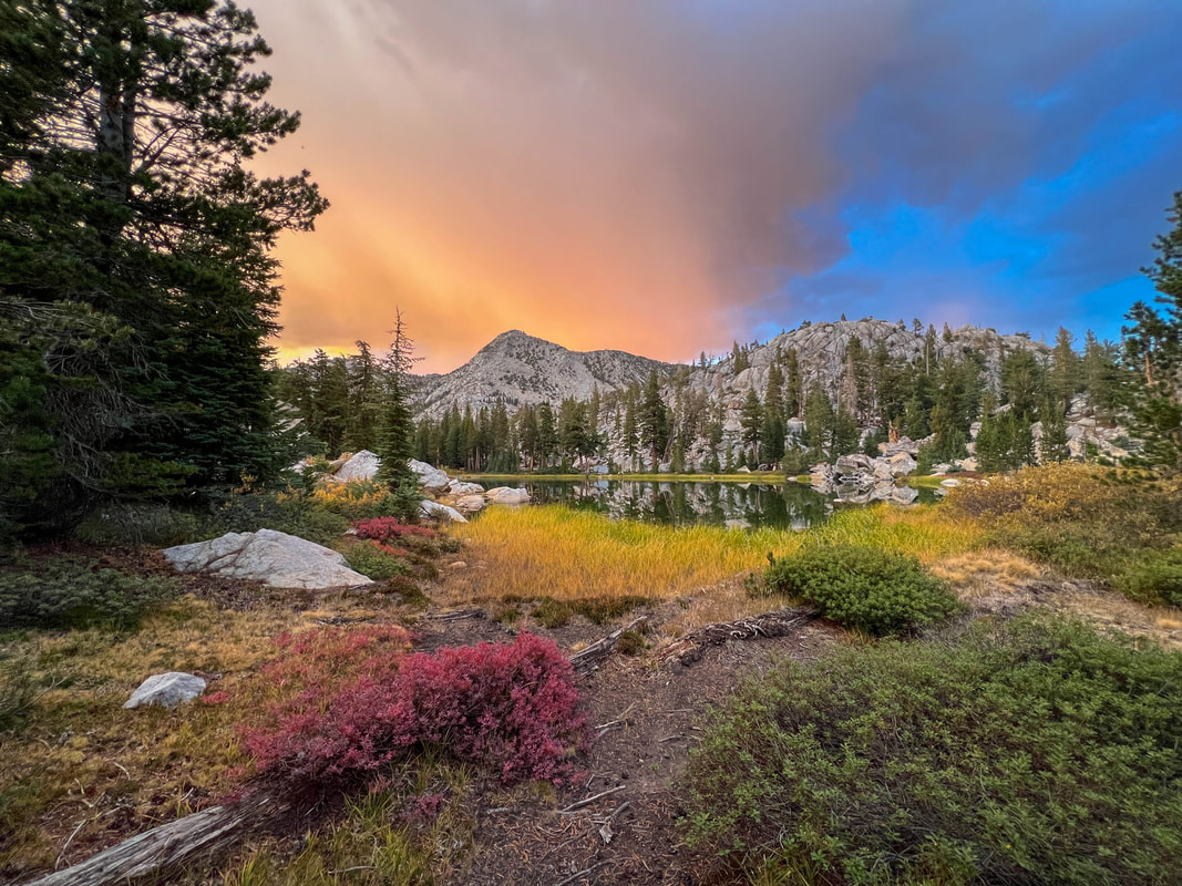
Daily Miles: 11.41 Total Miles: 11.41 Daily Elevation Gain: 3602 ft Daily Elevation Loss: 683 ft Back again. In the Eastern Sierras for fall colors. Casey is my partner in crime on this one. He’s never been in on the Robinson Creek trailhead and also has never backpacked in the height of fall colors. He’s in for a treat. We hit the trail at 2:30 under a very hot sun. The first mile and a half was through a dense forest of Ponderosa Pine and helped with the heat of the day. But that didn’t last long as we busted out of the forest and hit a section of low growing sage and sparse Aspen. The yellows were a hint of things to come. We continued climbing as today would prove to be our biggest up of the trip. 3600 feet of climbing is no joke. We continued to weave in and out of dense Aspen groves all at various stages of turning their awe-inspiring colors. The trail took us through shaded canyons and along a creek for miles. We finally hit the trail junction that would take us southwest towards our destination of Rock Island Pass. We immediately were in the shade of dense Fir and Mountain Hemlock and weaving up and up. Not long after we passed Robinson Lakes and then we arrived at Crown Lake at about 6:30pm as the sun was setting. We broke out our stoves and cooked a warm dinner on the shores of the lake. By the time we had eaten and packed up the sun had fully set and we were in the beginning of twilight. A special part about this trip was that tonight was a full moon and it was rising about the same time as the sun was setting. Because of this we decided to not put on our headlights and started hiking in the dwindling light of the day. We had a pretty large wall of granite to our east and as it grew darker with every step, we wondered when the moon would crest the ridge. About 20 minutes into walking the world was a blaze in moonlight. As we moved on, we would walk in and out of shadows created by the geography of the area. But when we were in full moonlight it was spectacular. The shadows our moving bodies created had nearly the exact same contrast as daylight shadows created by the sunshine. A bit later we passed Snow Lake and the trail meandered along the water’s edge before the final push to Rock Island Pass. We had planned to camp somewhere near the top of the pass and once we crested it decided to descend a couple hundred feet to find a good spot. I threw my headlight on to assist Casey who had ended up on a 20ish foot precipice while we were looking for camp spots in different areas. A bit further down the slope we found a gravel bar on a dry creek and called it home. We set up our bivys and settled in for what would be a night that dropped down to 24 degrees. |
|
|
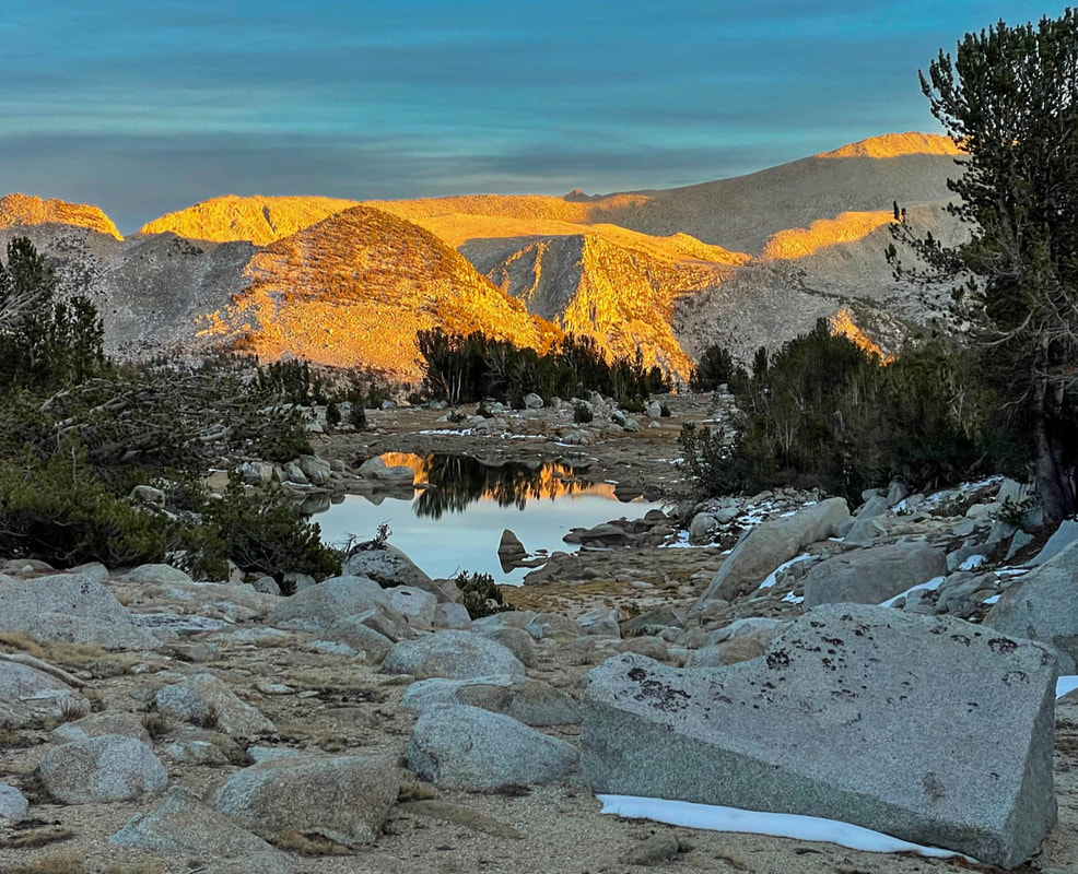
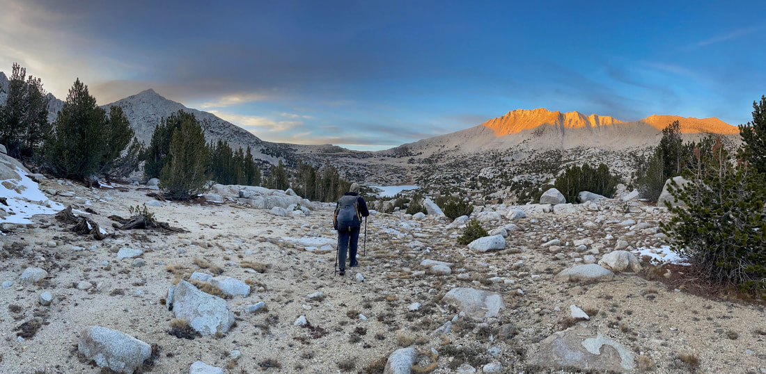
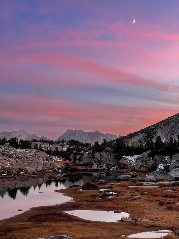
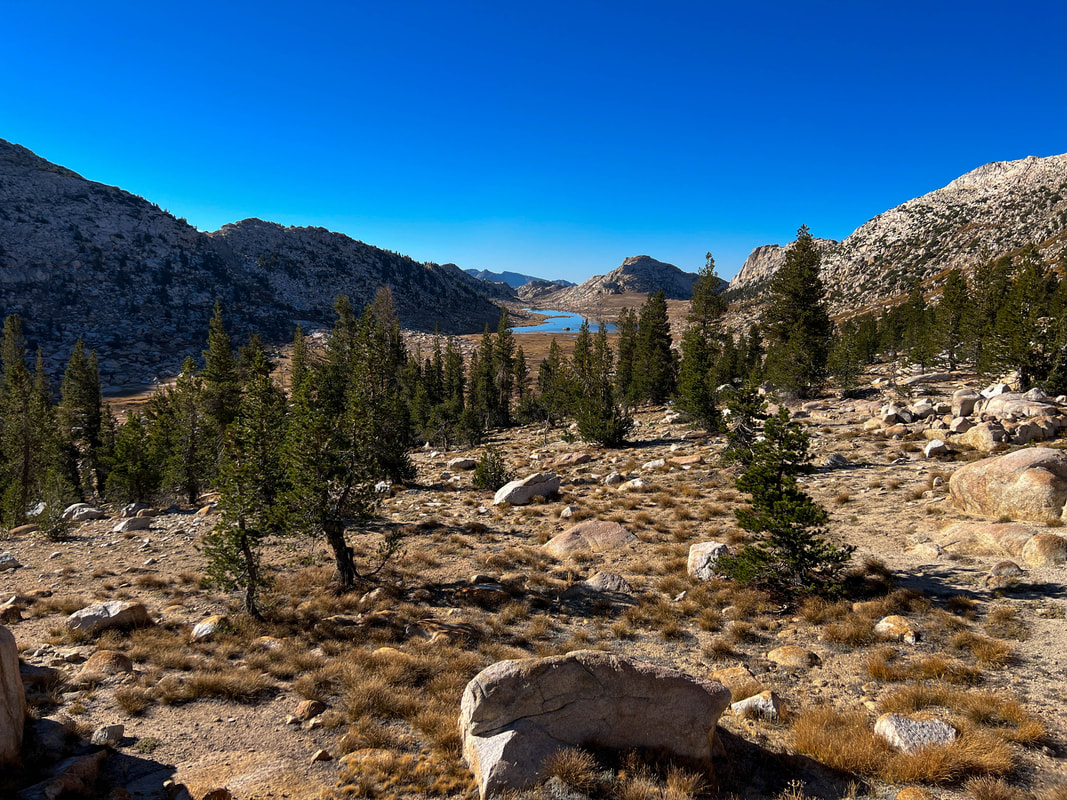
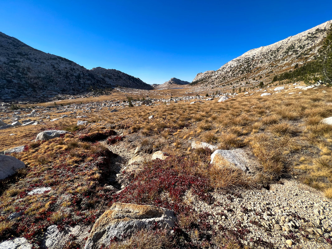
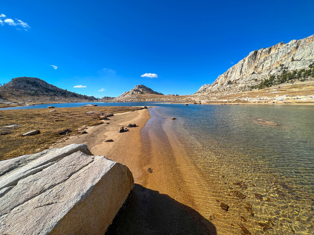
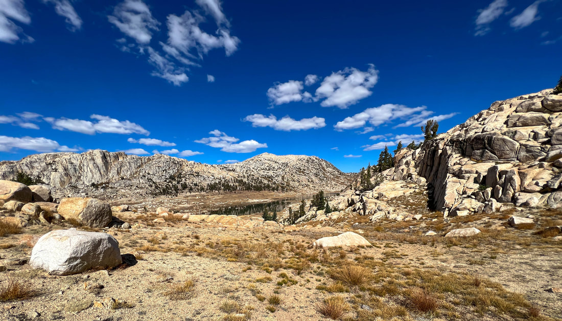
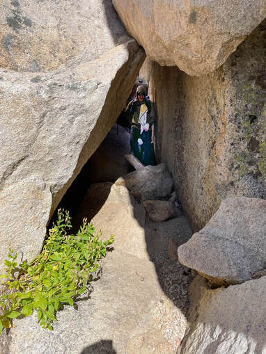
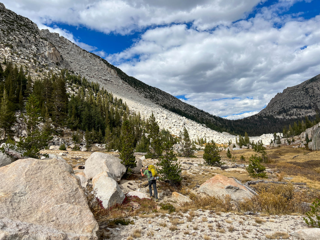
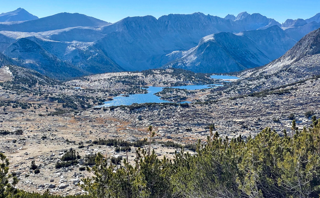
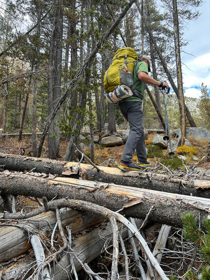
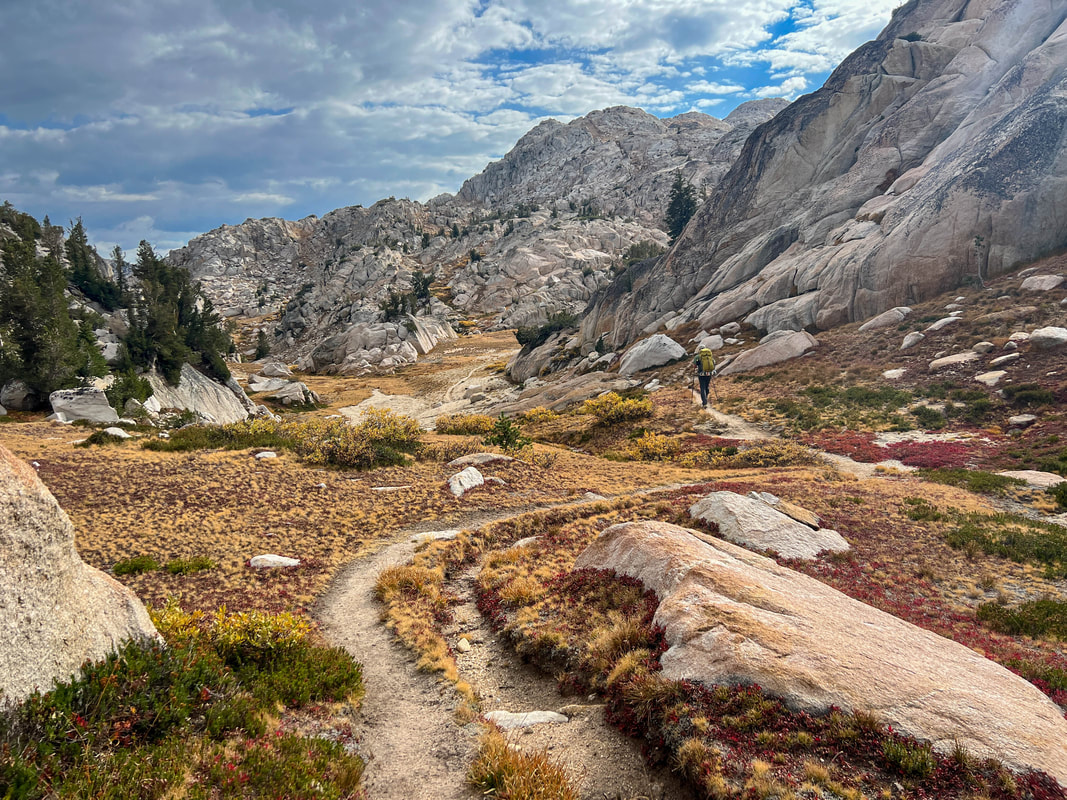
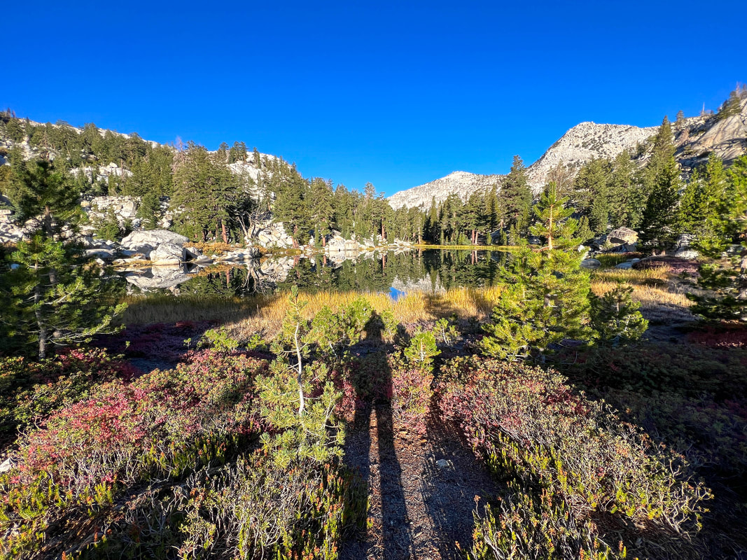
Day 2 Daily Miles: 12.37 Total Miles: 23.77 Daily Elevation Gain: 2568 ft Daily Elevation Loss: 3372 ft We woke up to a very chilly morning at about 26 degrees and waited a bit for the sun to get closer to our small area. About 30 minutes before the sun hit we started packing up, had breakfast, and were walking by 9:10. Today would be mostly off trail and our first goal was to head in a southwesterly direction towards a low spot on the adjacent ridge. Very quickly we left Hoover Wilderness and crossed into Yosemite National Park. The climb to the low point was mostly class two as it followed grassy and granite ledges. One move we had to make was a definite class 2+ if not class 3 as we transitioned from one granite ledge up to another using hand and footholds to do so. Cresting the top of the pass, we were rewarded with a view into the valley that held Rock Island Lake. Devoid of all but a few trees, the lake filled almost the entire canyon running from wall to wall in the middle of the vast landscape. We enjoyed the easy descent through low grasses to the bottom. About a mile after the view from the top of the pass, we were sitting on a small peninsula about 2/3 of the way along the lake. We set up our chairs of luxury and settled in for about an hour of drinking, snacking and just taking it all in. Finally, it was time to get going again and we headed towards the end of the lake and up to a saddle which led to a small talus gully. Our goal was to make it over a series of ridges to Piute Canyon. First we had to navigate a series of slots, ledges and granite to drop into Crazy Mule Gulch. We would use the gulch to gain elevation before making our way over the second ridge. This upcoming descent would be the crux of the day. This 1000 foot trail-less drop had it all. We started the descent next to a small creek that was barely flowing, navigating our best to stay out of the low growing willow stands. Later we would find ourselves in a narrow steep slot making our way over, under and around boulders of all sizes (little did we know that we’d face a boulder field exponentially bigger later in the day). Our last 300-400 feet were slick granite ledges that looked like they carried significant amounts of water in the spring. This steep descent took a very long time and was extremely hard on the body. Finally we were at the canyon bottom and decided to hike upstream for awhile before stopping for lunch. Walking was pretty easy through a combination of pine forests and open meadows. About 45 minutes in, we found a serene spot on Piute Creek for lunch. Casey cooked and I snacked while watching the tiny trout dart from rock to rock occasionally coming to the surface for a tasty bug. It was time to get going again. I’d read some beta on this section and it mentioned an “impressive slide” further up the canyon. I was interested in seeing it. About an hour later we could see hints of this “impressive slide” through the trees and another 30 minutes further we came to the edge of it. It was amazing. A rockslide like I’ve never seen before. An entire mountain of rock had not only come down and filled the entire valley, but had pushed up the opposite valley wall creating an almost impenetrable area. Casey and I guessed that the bottom of the slide measured close to a quarter of a mile. The boulders were enormous. Some were big as semi-trucks. The most incredible part was that some of the largest rocks had been thrown down the mountain and then into and across the valley and up the opposite canyon wall. As we approached the slide Casey suggested going straight through it. I was weary as I had a feeling that it was much longer of an area than we could see from below. We decided to make our way up the opposite wall and try to make our way through the slide closer to the final edge of it. As we entered the slide area, it was obvious that it would take hours to get through to the other side if we stayed in the thick of it. We moved higher and into the forest. From there, we were able to move a bit more easily and made it to the other side in about 30 minutes. Looking back at the side we were amazed at what a large area it covered. Getting through this put us in a meadow holding a forestry Weather Station. We took a short break, had some water and continued on knowing that we would be joining the trail in less than a mile. The final half mile before finding the trail was through a forest of snags and blowdowns. It took all of our energy to make it to the trail. Our guess was it wasn’t far to the top. We guessed wrong. Our assent turned into 956 feet of one false summit after another. This very well built trail seemed to weave in and out of 3-4 small passes up one rock staircase after another to the top of Mule Pass and the Yosemite boundary with Hoover Wilderness. It was all downhill from here as we weaved through mountain ranges, past a beautiful unnamed lake sitting right on a cliff ledge and down to the valley that would lead us towards Crown Lake where we had planned to camp. Unfortunately, the group that was camped on the best spot, and one of the only spots, on the lake was still there. We decided to continue down to Robinson Lakes to find a spot there. We arrived a bit before sunset, set up camp and cooked dinner under a sky filled with blazing pink clouds. Not long after eating, large lazy raindrops started falling and we made our way to our shelters to stay dry. The ”rain” only lasted about 15 minutes twice that night and the temperatures were almost 10 degrees warmer than the previous night. 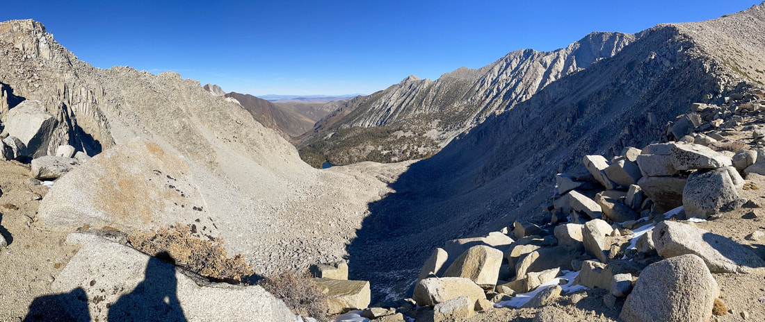
Day 3
Daily Miles: 7.64 Total Miles: 31.42 Daily Elevation Gain: 334 ft Daily Elevation Loss: 2440 ft Up at 7. Gear was mostly dry and after breakfast we were on the trail by 8:10. Down was the name of the game today. We moved quickly and were amazed by the vibrant colors of the trees and vegetation in the morning light. It truly looked like a different place than it had just a short day and a half ago. We reached the car in no time at all. A wonderful trip with a wonderful friend. Seeing and experiencing the fall colors is such a short window. I’m truly grateful that I was able to experience it all in yet another fall season. Trip Stats Total Miles: 31.42 Total Elevation Gain: 6504 ft Total Elevation Loss: 6495 ft. 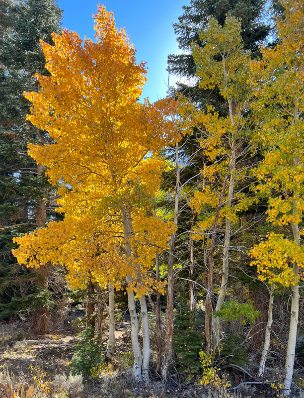
|
|